Save big time on satellite analysis
Speed up your workflow with Nimbo’s GIS-ready satellite maps
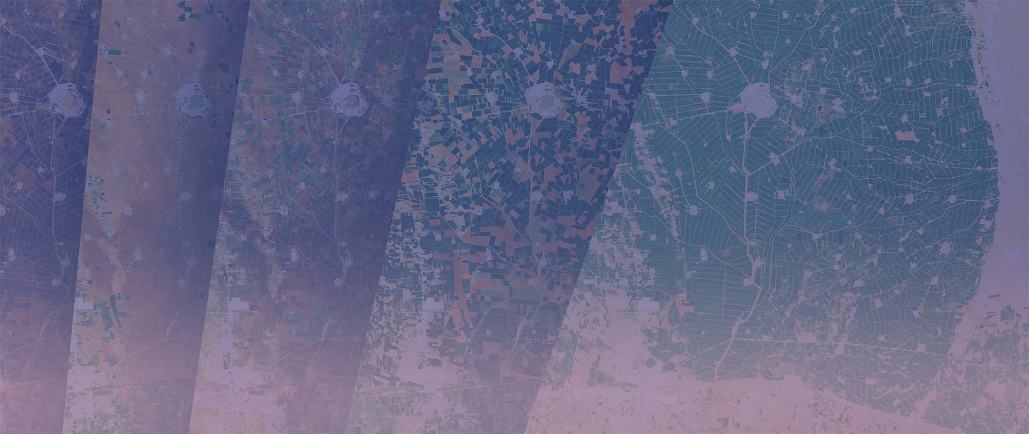
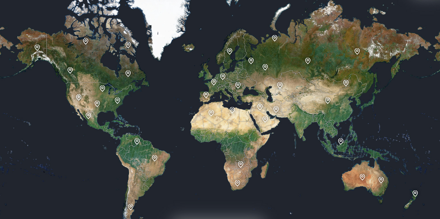
Worldwide, cloud-free, updated every month.


50
Hours saved per user per month
300
TB of Sentinel data pre-processed for you every month
260
Layers available from 2019
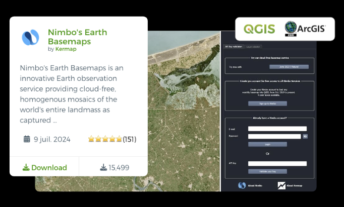
+15000
Registered QGIS plugin users
Hours become minutes, at every step
Let your GIS workflow take off
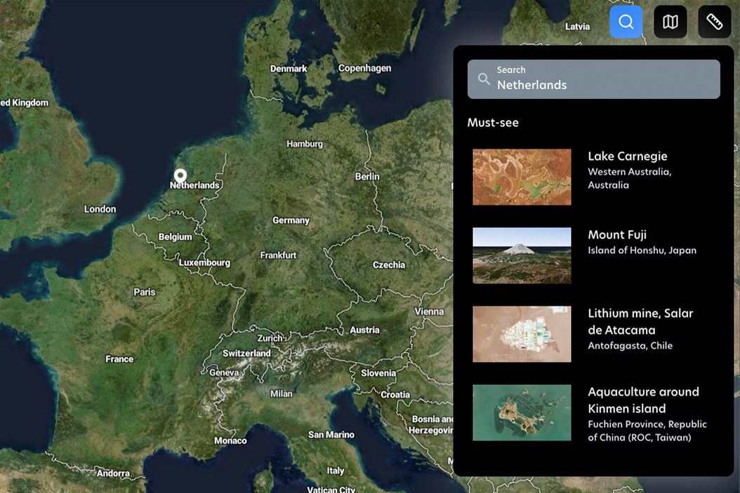
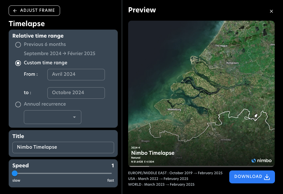
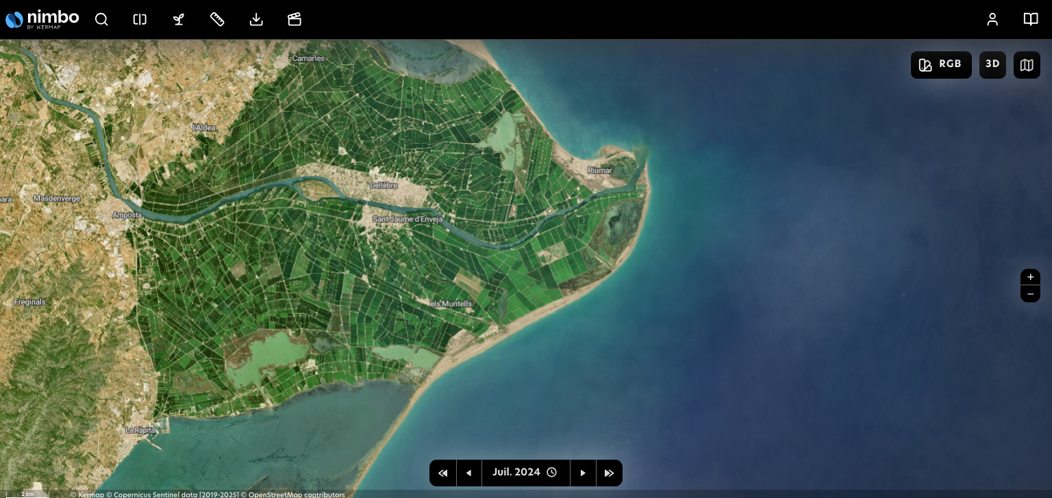
Nimbo’s basemaps are designed for smooth integration into GIS softwares. Forget clumsy EO platforms, tedious area selection, expert image preparation : just pick your month and let our TMS/WMTS serve you the whole world, without clouds.
Updated every month, worldwide
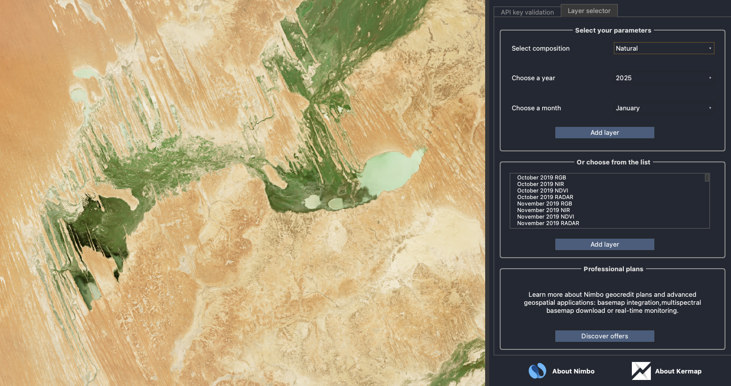
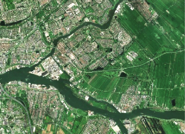
Nimbo leverages Sentinel’s passive and active sensors to produce synthetic satellite views in five color layers
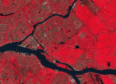
RGB
Natural colors
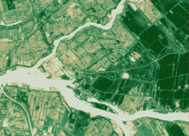
NIR
Near Infrared
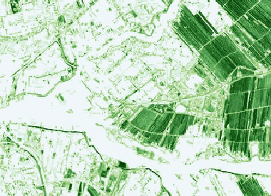
NDVI
Vegetation health index
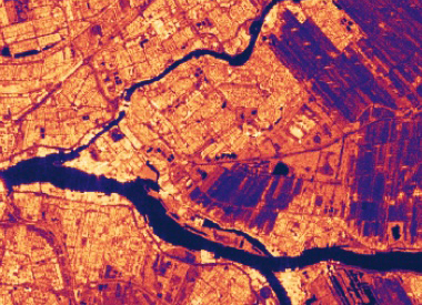
LAI
Leaf Area Index
Radar
Band-C VV-VH index

3D terrain DEM
Digital Elevation Model
Personal
Free
- Earth online access
- Earth basemaps API
- 4 data layers
- QGIS plugin
- Up to 6000 GC / month
Professional
80€ / month
billed annually
- Earth online access
- Earth basemaps API
- 4 data layers
- QGIS plugin
- Up to 100 000 GC / month
- LAI data layer
Team
On request
- Earth online access
- Earth basemaps API
- 4 data layers
- QGIS plugin
- Custom GC amount
- LAI data layer
- Multiple users
Nimbo Basemaps specs
| Description | Monthly composites based on Sentinel-2 MultiSpectral Instrument (MSI), using 13 bands: 4 visible bands, 6 Near-Infrared bands, and 3 Short-Wave Infrared bands except radar : Monthly synthesis of Sentinel-1 “Radex” product (composite of VH, VV, HH, HV data) |
| Temporal Resolution | Monthly |
| Number of used bands | RGB :3 / Infrared : 3 / NDVI : 2 / LAI : 8 / Radar : 1 |
| Additional bands | – |
| Spatial Resolution | 10 m |
| Bits depth | 8 bits |
| Measurement | Bottom Of Atmosphere (BOA) |
| Coordinate Reference System | UTM/WGS84 |
| Tile size | 110 x 110 km |
| Coverage | World |
| Format | TIFF |
| API availability | Yes |