We’re happy to see that Nimbo is attracting a wide audience, and we’d like to help you go further by exploring with you all the possibilities offered by our solution for GIS professionals.
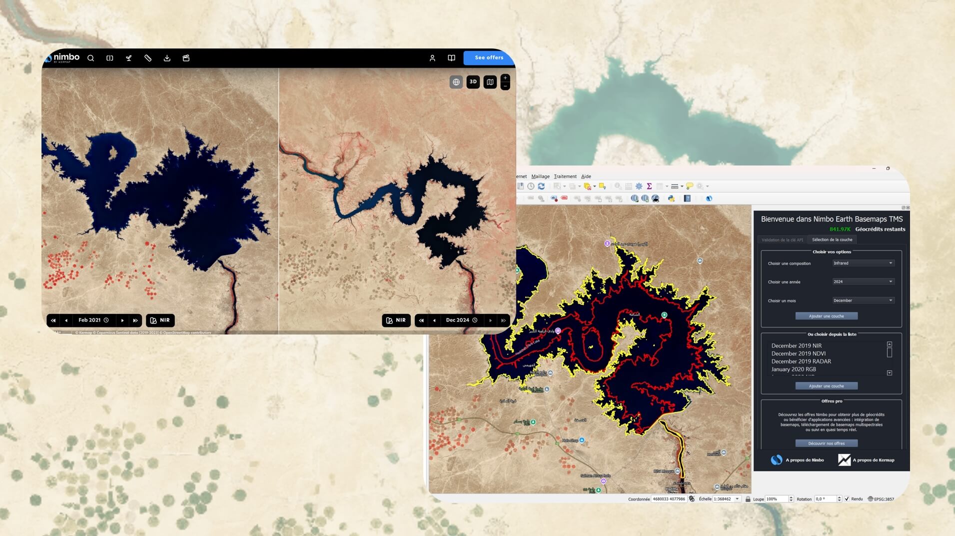
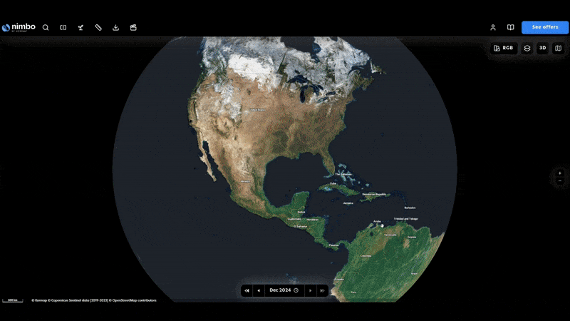
Perhaps you are new to our platform’s concept, so here it is in a nutshell: the Nimbo Earth Online platform and the corresponding basemaps for GIS softwares indeed provide you with up-to-date satellite maps of the Earth, without clouds, update every month.
These basemaps rely on Sentinel imagery from the EU’s Copernicus programme, just clearer, easier and faster, for you to save the time and hassle of searching, downloading and preparing the right images for your GIS projects.
Want to know more and see Nimbo in action ? You’ll get all the answers you’re looking for during our next demo session !
On the agenda : an overview of Nimbo and how it can save you precious time in your geospatial tasks. Don’t miss out on this opportunity to know more about our GIS-ready satellite mosaics crafted from Sentinel imagery, and how to make the most of it !
We’ll also be happy to answer questions you may have, receive feedback on your Nimbo experience, or suggestions on features you would like to see added.
This 45-mn webinar will stream live on Tuesday 4 March 2025
Pick the session that suits you best below:
10 AM Paris time (UTC+1)
New York: 4 am / New Delhi: 2 pm
4 PM Paris time (UTC+1)
New York: 10 am / New Delhi: 8 pm
We’re looking forward to having you join us !