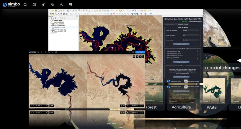
The International Rice Research Institute (IRRI), a key player in global food security, has chosen the Nimbo Earth Online platform developed by Kermap to optimize the management and monitoring of its research plots around the world.
IRRI is dedicated to abolishing poverty and hunger among people and populations that depend on rice-based agri-food systems. To support its experts’ missions, the institute needed a solution facilitating their remote sensing monitoring work.
This implies validating the accuracy of the GPS coordinates of IRRI’s research plots in such varied locations as Africa, South East Asia and Latin America, and confirming that they are indeed dedicated to rice cultivation. IRRI also needed a tool to monitor the evolution of these plots over time, such as changes in crop behaviour or stress parameters.
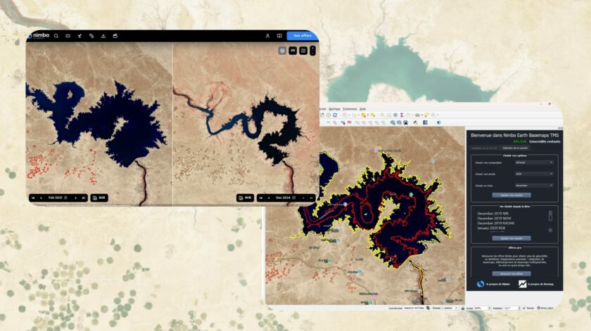
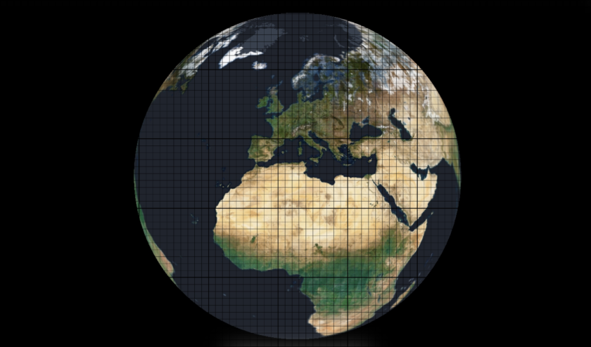
Thanks to its global, cloud-free satellite maps, updated monthly, Nimbo Earth Online perfectly meets these requirements. The instant availability of this resource all over the world means that IRRI experts don’t have to go through the time-consuming task of browsing raw satellite imagery to find views that are relevant and operable.
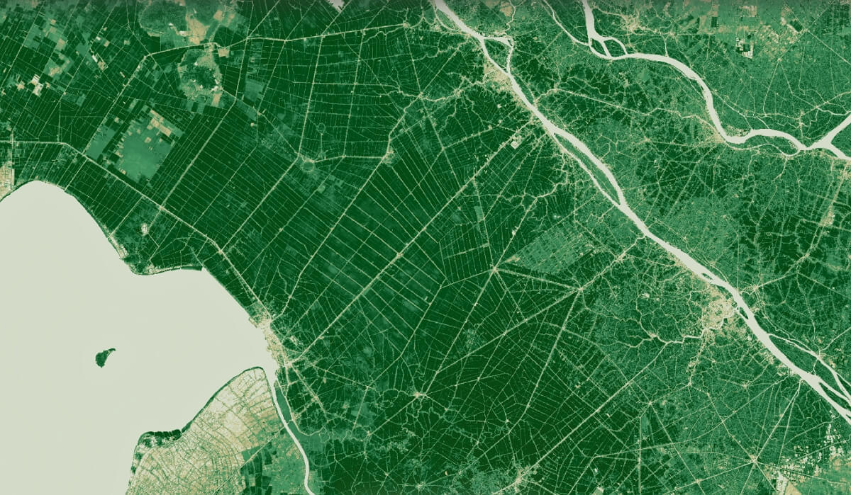
contains modified Copernicus Sentinel data (January 2025)
Another major advantage of Nimbo Earth Online is its direct compatibility with QGIS, a software widely used by IRRI experts. This integration considerably facilitates the work of the teams, enabling them to exploit the data in an environment with which they are already familiar.
By collaborating with KERMAP, IRRI strengthens its commitment to technological innovation and sustainable agriculture, combining scientific expertise and cutting-edge geospatial solutions to address global challenges.


