Satellite data for a changing world.
Earth as you need it: monthly cloud-free satellite imagery, basemap integration and automated analytics extraction. Non-stop, user-ready.


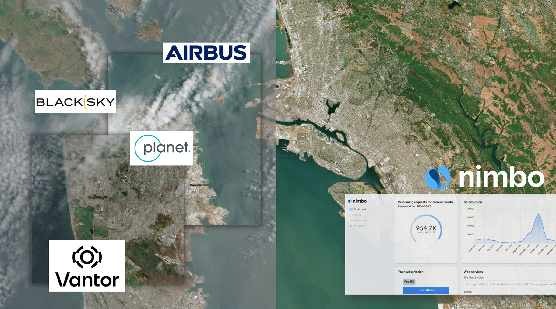
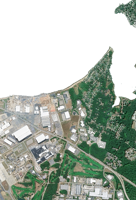
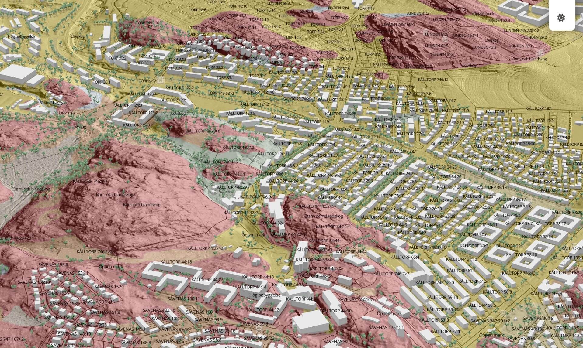
EARTH BASEMAPS
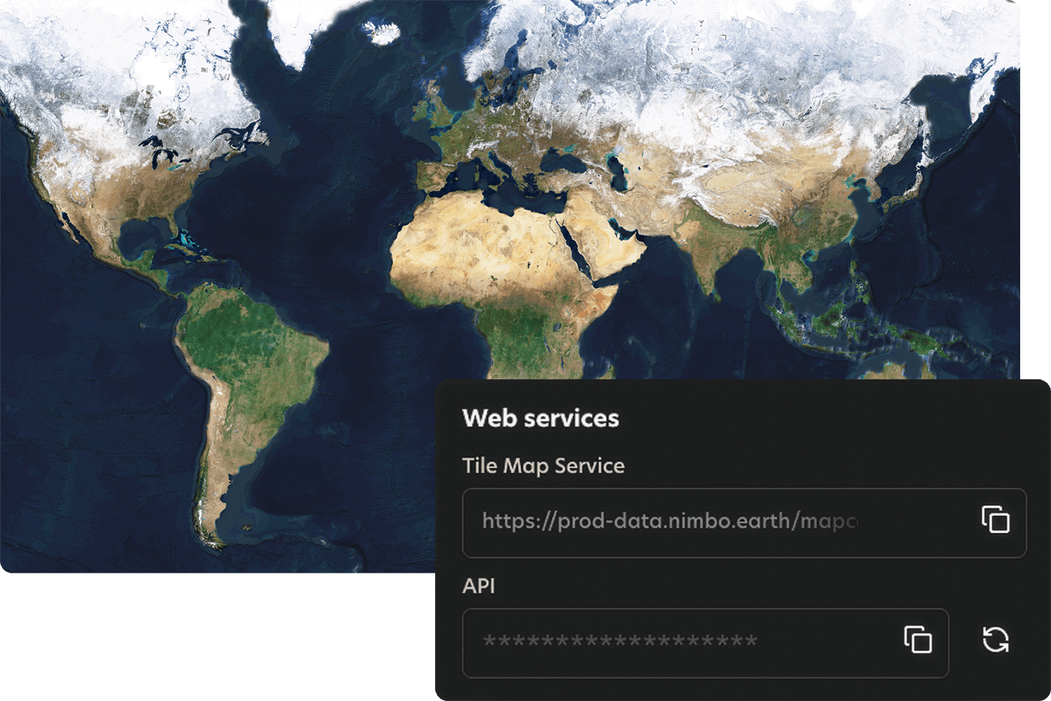
Your gateway to live satellite imagery

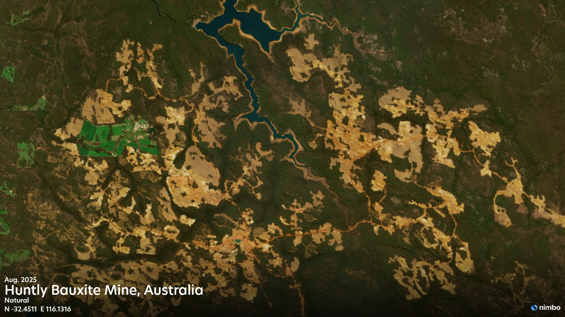
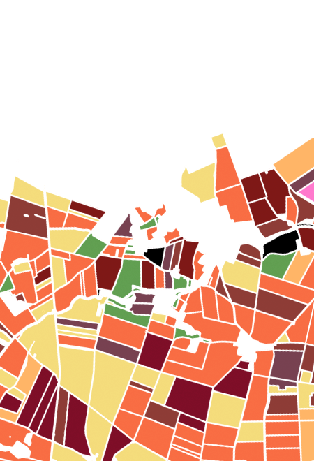
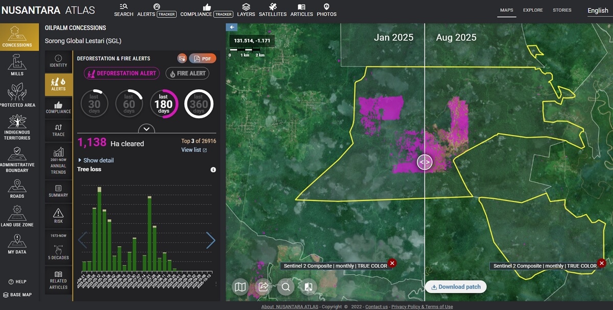
AGRICULTURE ANALYTICS
From satellite data to trusted crop insights
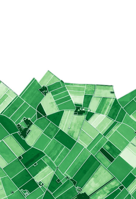
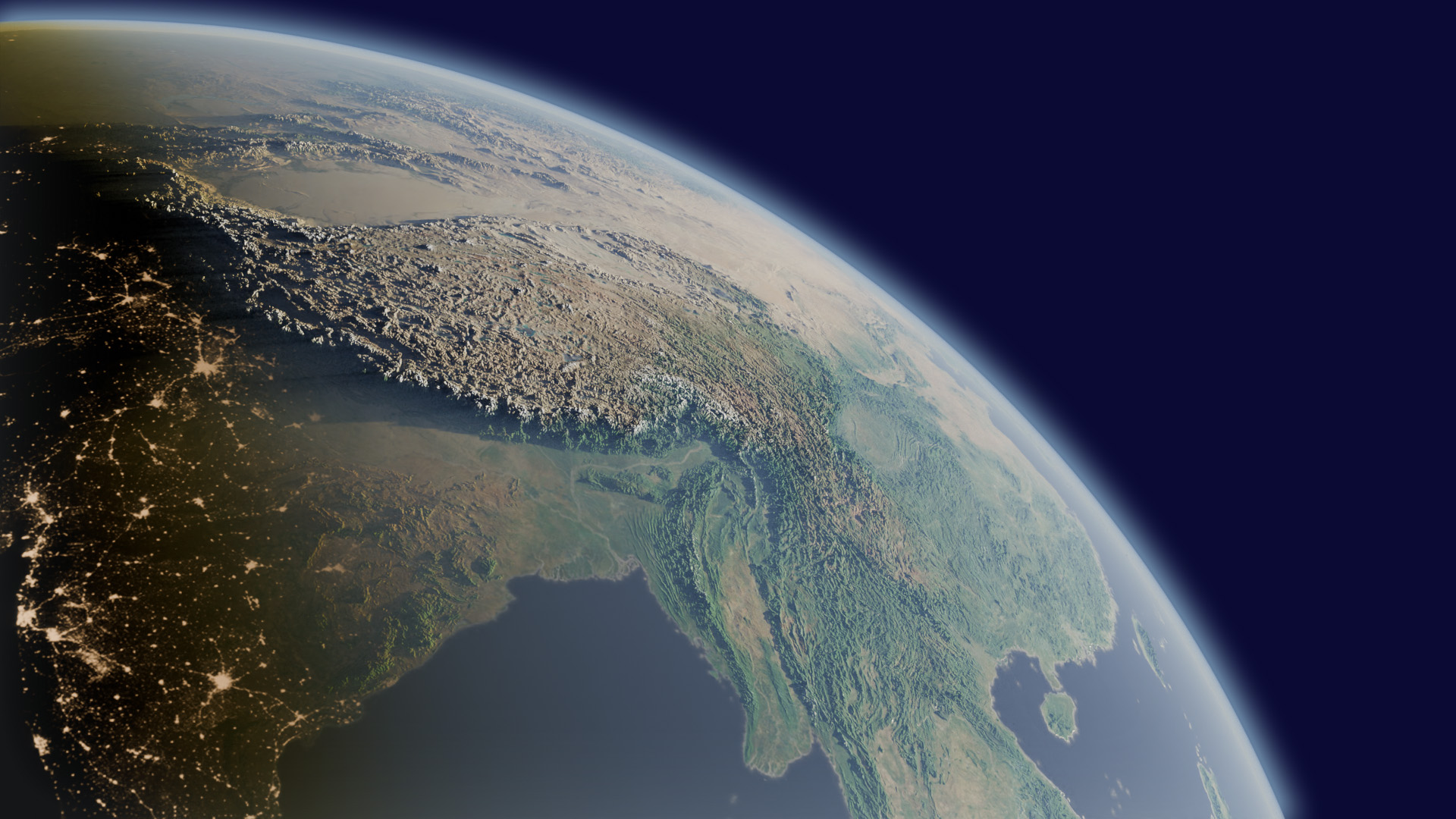
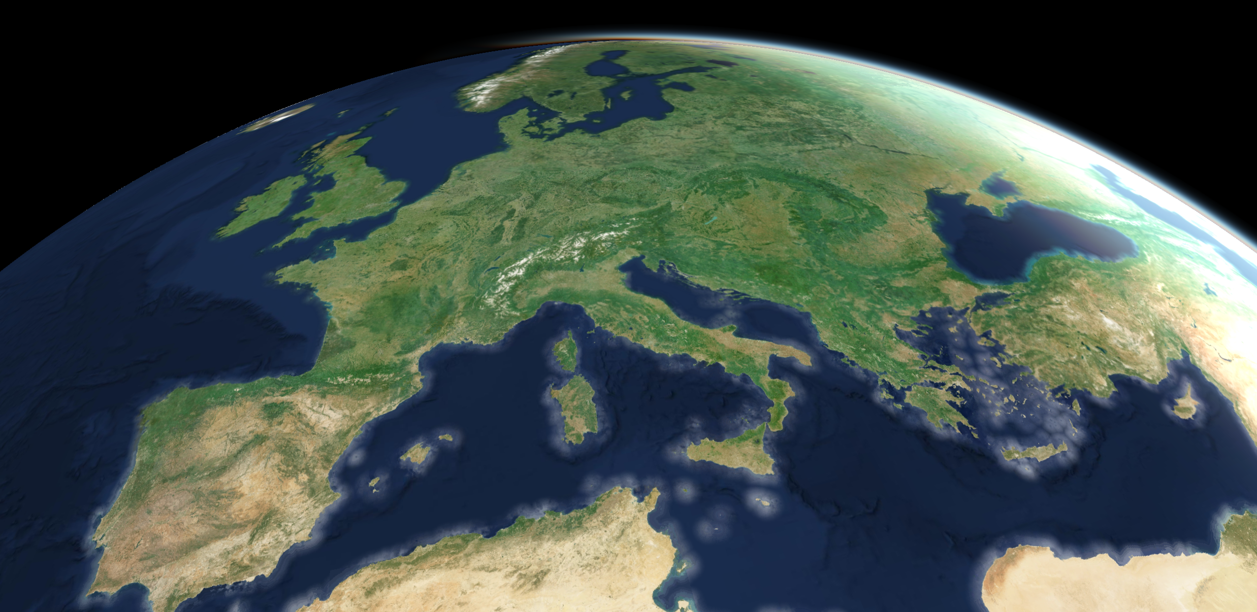
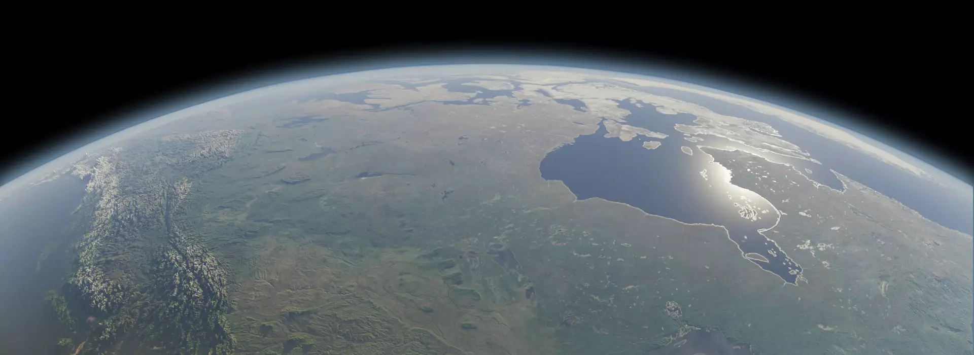
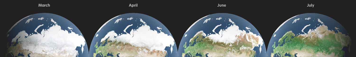
Worldwide and continuous
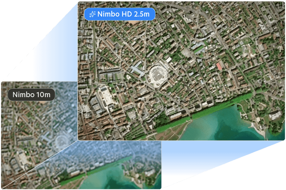
Nimbo Basemaps redefine access to satellite data: bringing you the most recent maps of the world, without clouds, up to 2.5 m resolution.
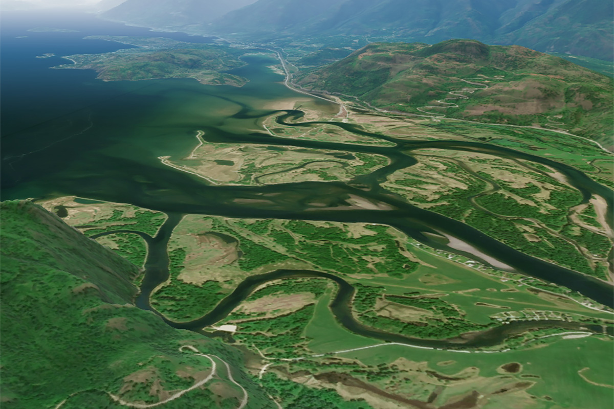
Satellite imagery you can really use : precise, fluid, interoperable
Scaling Earth data, every month
+2,5 million
map tiles loaded by all users every month
300 To
of Sentinel data pre-processed for you every month
+320 layers
available from 2019 to present across our services
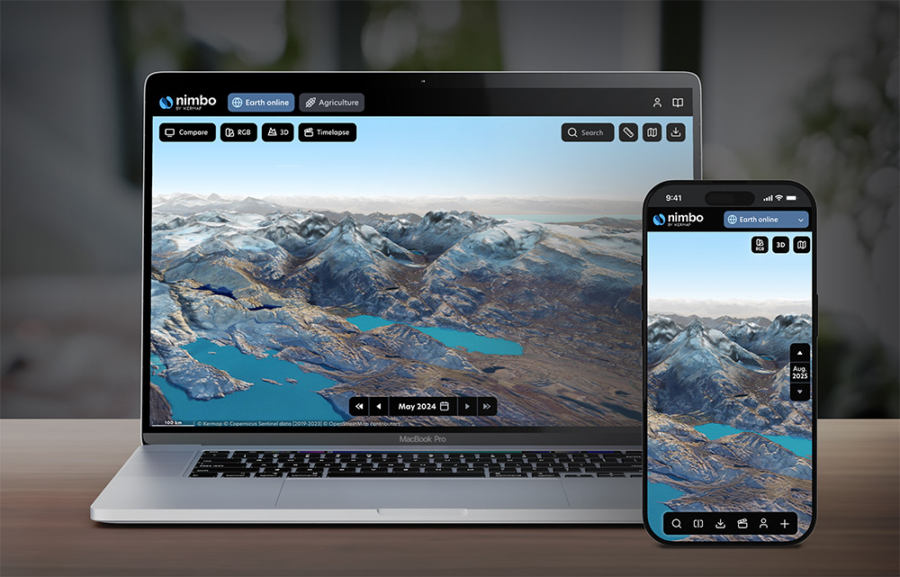
Live satellite imagery can be easy
Head to Nimbo Earth Online to discover a new, user-friendly way to explore views of our planet, updated every month.
Trusted by data experts
NIMBO IN ACTION
"Quick display, composite quality equivalent to Planet's" - The TreeMap
NIMBO IN ACTION

"Integration was effortless, Nimbo Terrain data makes our tool feel more trustworthy" - Parametric
About us
We at Kermap are incredibly proud to bring out Nimbo, the first Earth observation solution designed to make satellite imagery available to everyone.
Combining our expertise in remote sensing, geospatial data treatment and artificial intelligence, Nimbo provides a unique blend of resolution, clarity and recency at global scale, in a format that is at last truly accessible to all professionals in need of user-ready, reliable Earth data.
Learn more