Earth Basemaps
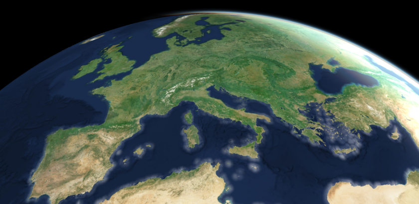
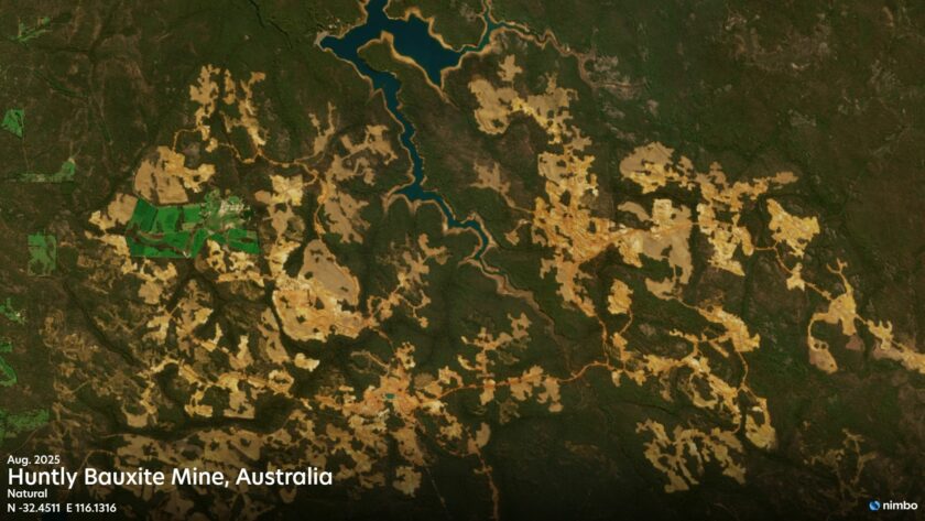
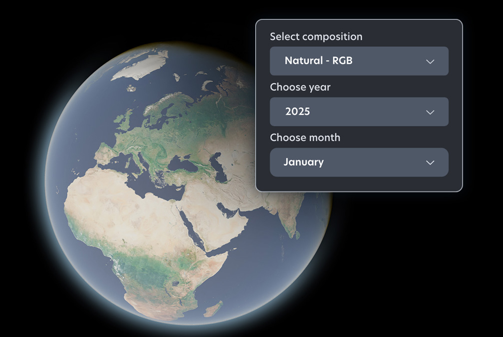
GIS-ready satellite maps. Worldwide, cloud-free, updated every month. Create your Nimbo account to retrieve any month available.
TECHNOLOGY
Your EO data time saver
Forget satellite data issues with Nimbo’s basemaps: instant-acccess worldwide, cloud-free, updated every month
HD Basemaps
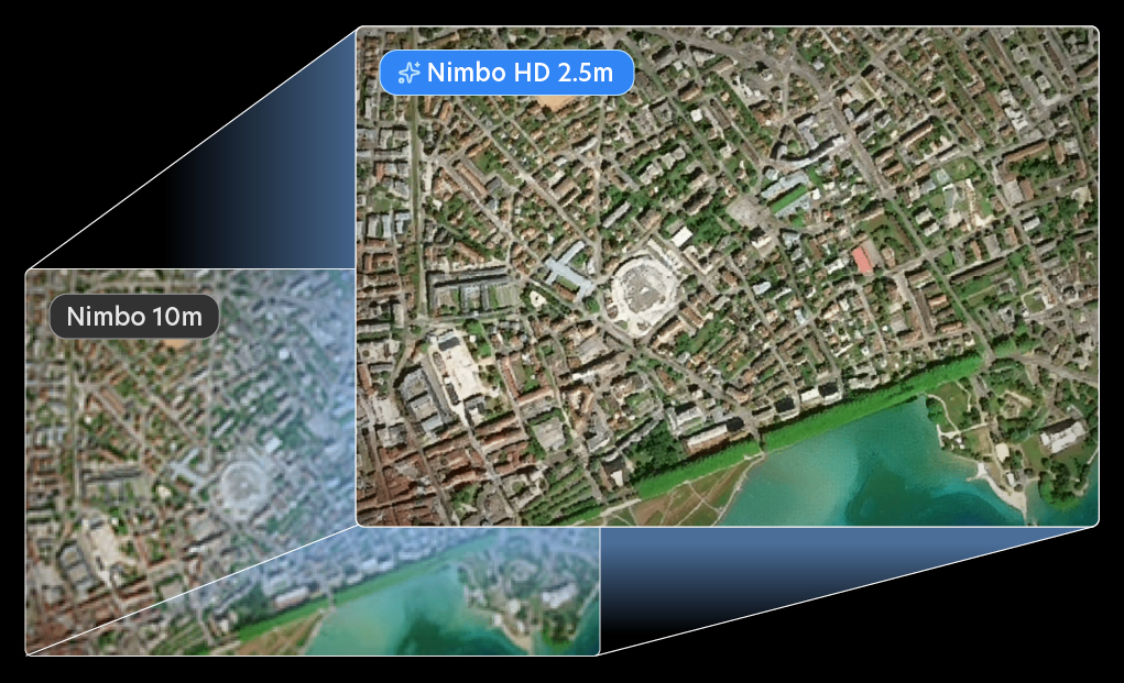
Get the best resolution at global scale
Nimbo HD’s AI-enhanced satellite imagery delivers the highest resolution available at global scale, updated monthly.
Access 2.5m Earth imagery that’s global, consistent, and easy to use.
NIMBO STREAM
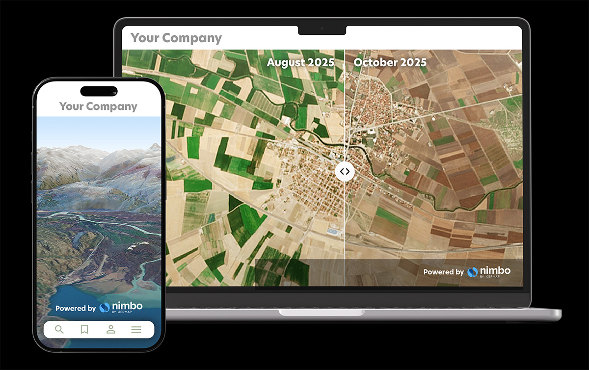
Boost your app with fresh satellite imagery
Nimbo’s world basemaps are ready to be delivered to your users. Enhance your platform and data with cloud-free satellite imagery, updated every month. Easy to integrate, fluid to navigate.
PRO FEATURES
Multi-spectral data for experts
Nimbo leverages Sentinel’s passive and active sensors
to produce synthetic satellite views in five color layers worldwide, every month
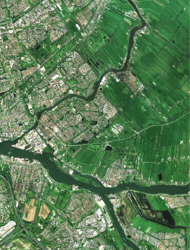
RGB
Natural colors
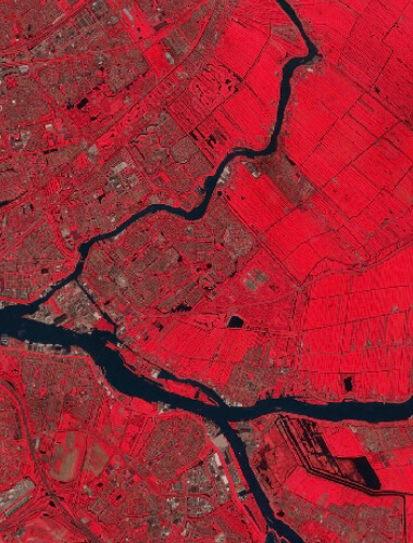
Infrared
Near Infrared
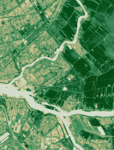
Vegetation index (NDVI)
Vegetation health index
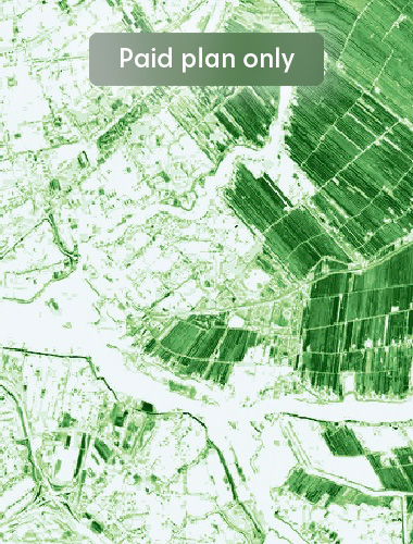
Leaf Area Index (LAI)
Vegetation density (Paid plan only)
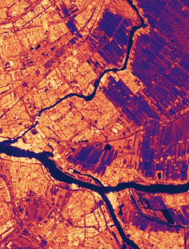
Radar
Band-C VV-VH index

DEM
Digital Elevation Model
TECHNOLOGY
Analysis-ready basemaps, worldwide
At once homogenous, seamless and continuous, Nimbo’s Earth basemaps have been designed for machine learning algorithm implementation, monitoring tasks and training models based on time series.
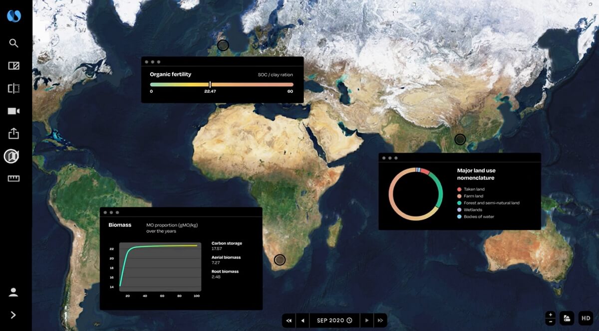
GIS Software compatibility
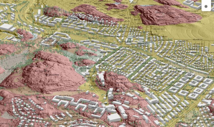
Nimbo’s basemaps are designed for smooth integration in GIS platforms. Use our exclusive QGIS plugin to connect and upload any Nimbo basemap into your software.
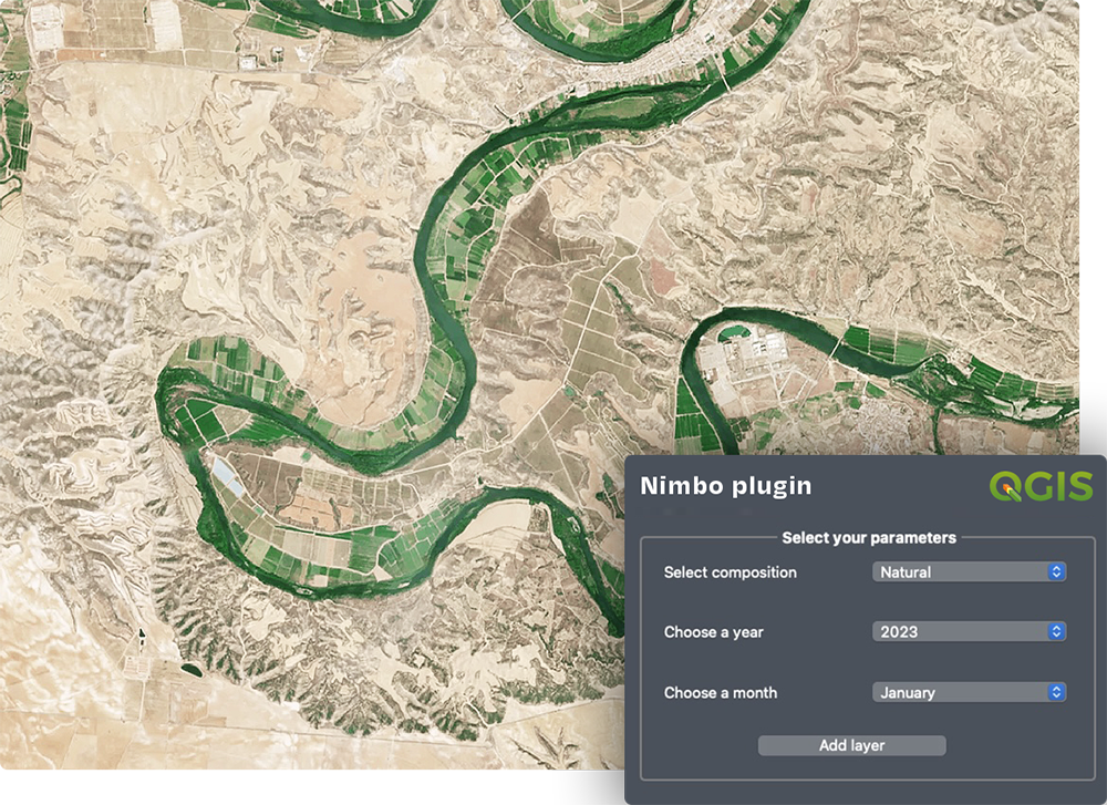

Make the most of Nimbo’s Basemaps
Want to integrate Nimbo’s Earth Basemaps in your visualization platforms or other geospatial-related project ? We’ll be happy to discuss it with you !


