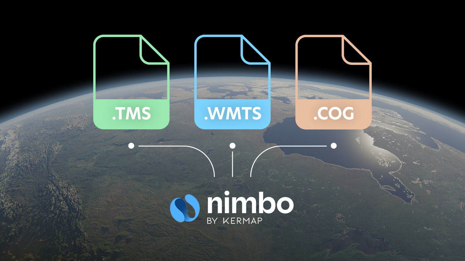
Choosing the right format for geospatial data display is of utmost importance. Here’s how we to use TMS, WMTS and COG to deliver optimal experience for all Nimbo users.
Have you ever explored an online map that loads quickly, where each zoom is smooth, and every movement is instant? This kind of experience is no accident but the result of carefully chosen formats for distributing geospatial data. When building up Nimbo, we’ve made these choices to ensure that the end user benefits from the best technology available.
Whether you’re a regular user looking for a map that loads instantly, or a GIS (Geographic Information System) professional with precise and complex needs, Nimbo’s Online Basemaps offer the right formats for every use. Let’s take a closer look at the three main formats we’ve integrated: TMS, WMTS, and COG, and explore how they enhance your experience.
TMS format: all about speed
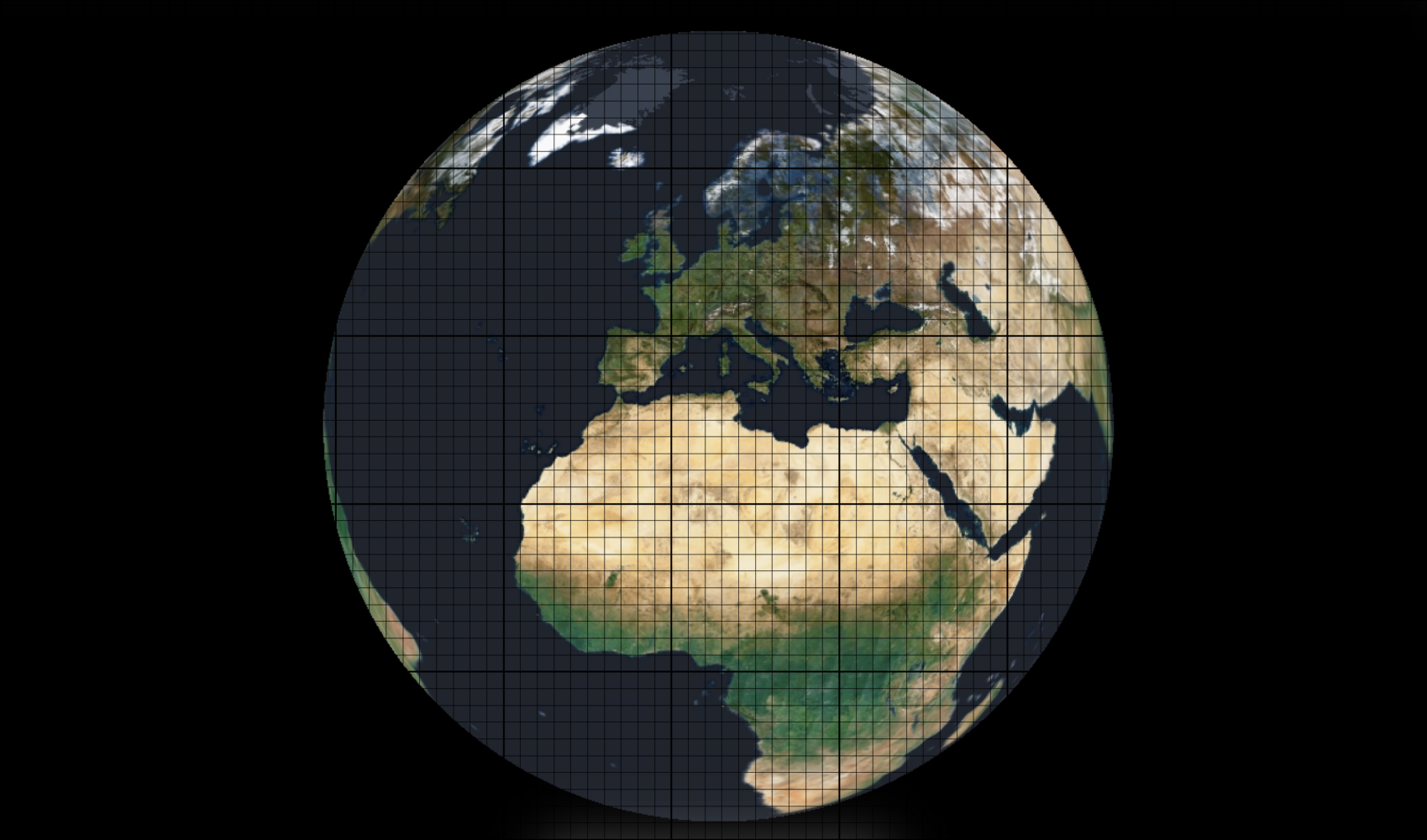
TMS, or Tile Map Service, is one of the oldest yet most efficient geospatial formats for displaying maps quickly. The principle is simple: it cuts maps into small tiles, which your browser or web application loads one at a time, depending on what you’re viewing.
Imagine you’re exploring a map of your area on Nimbo Earth Online. Thanks to TMS, only the tiles visible on your screen are loaded, meaning the load time is almost instant. You zoom in, and the map responds immediately. This is the fluidity our users seek, whether on mobile or desktop. This contrasts sharply with platforms like the Copernicus Data Space Ecosystem, which provides vast amounts of Earth observation data but can suffer from slow loading times due to the sheer volume and complexity of the datasets they manage. While Copernicus excels at offering a broad and comprehensive dataset catalog, it doesn’t prioritize instantaneous visualization
Why does this matter to you? Because Nimbo relies on TMS to ensure smooth exploration of our basemaps without any frustrating delays. It’s the perfect format for web and mobile applications where speed is essential.
Connected Read
WMTS format: efficient and standardized for professional use
We have also integrated WMTS (Web Map Tile Service) to ensure that Nimbo basemaps are delivered with both speed and precision. This format helps us provide a solution perfectly suited for professionals needing standardized and efficient data distribution. Unlike WMS, where maps are rendered in real-time for each request, WMTS uses pre-generated tiles at multiple zoom levels, allowing for much faster map loading. This pre-tiled approach ensures that when a user zooms in or pans across a map, the system immediately retrieves the required tiles from the cache without needing to reprocess or re-render the data. The result ? Smooth, instant map interactions.
This makes WMTS a perfect fit for Nimbo’s commitment to providing high-performance mapping solutions. Whether you’re working with urban planning, environmental monitoring, or large-scale agricultural projects, the use of WMTS ensures you can quickly access the data you need without the delays that come from rendering maps on-the-fly.
Another critical advantage of WMTS is the inclusion of rich metadata with each tile. For example, a user analyzing satellite data for environmental projects can verify the acquisition date of the imagery, ensuring that the data is relevant to the time period being studied. Additionally, the metadata includes information on the spatial resolution and coordinate system, which is vital for ensuring compatibility with other datasets in GIS projects.
With WMTS on Nimbo, we provide not only fast maps; but also reliable, standards-compliant data that integrates seamlessly into your professional workflows. Whether you’re using desktop GIS tools like ArcGIS or QGIS, or embedding maps into web applications, WMTS ensures that your data is delivered quickly, accurately, and with all the metadata needed for informed decision-making.
COG format : the power of the cloud for massive data
Nimbo also leverages the power of COG (Cloud Optimized GeoTIFF) to efficiently manage and distribute large volumes of geospatial data. COG is a modern format designed to streamline the handling of massive datasets, particularly in cloud environments. Unlike traditional GeoTIFFs, which require users to download the entire file, COGs allow for partial data access. This means that users can retrieve only the specific part of the file they need, significantly reducing bandwidth usage and speeding up data retrieval.
The flexibility of COG makes it ideal for handling large satellite datasets, where users may only need a small portion of the image at a time. For example, a user studying crop health in a specific region doesn’t need to download the entire scene—just the relevant section. This ability to access data “on-demand” is particularly important for projects involving high-resolution imagery or time-series data, where file sizes can become overwhelming.
At NIMBO, while we use TMS and WMTS for map display, we rely on COG in the backend for efficient storage and delivery of basemap downloads. When users request basemap downloads, they receive the data in COG format, allowing for fast, cloud-based access without sacrificing performance.
This hybrid approach ensures that Nimbo combines the scalability of the cloud with the speed and efficiency required for large-scale geospatial projects, making it a powerful tool for professionals who need access to vast amounts of geospatial data with minimal delay.
Nimbo’s hybrid geospatial formats : the best of three worlds
When designing Nimbo, we’ve taken the time to select the formats best suited to offer you a fluid and high-performance user experience. By combining the strengths of TMS, WMTS, and COG, we provide a complete solution, tailored to every need.
- TMS for fast web display.
- WMTS for advanced GIS users who need maximum interoperability.
- COG for managing and distributing massive data with optimal scalability.
We believe this hybrid approach lets you get the most out of each format, whether you’re a casual user or a GIS professional.
With Nimbo, you have access to a geospatial platform that combines performance, flexibility, and scalability. Whether you need a map that loads instantly for a presentation or you’re a professional working with complex data in GIS software, we’ve got you covered.
We invite you to explore Earth observation platform to see how our basemaps and formats can transform your online mapping experience. Take advantage of the best geospatial technologies, and let us guide you through your territory with precision and speed.