Broadcast-ready basemaps and 3D terrain for storytelling
Get cloud-free, monthly-updated satellite imagery and elevation data that looks great on screen, without the satellite imagery procurement headache

Who is it for
Built for broadcast graphics platforms
Deliver a visually flawless, globally consistent basemap + terrain stack that production teams can trust in a zero-tolerance-for-failure environment
Product manager
You own the data layer that teams depend on every day and you need data that looks pristine on-air – without manual cleanup.

Ship a visually flawless, globally constitent basemap and terrain stack that production teams can trust in a zero-tolerance-for-failure-environnement
The problem
What breaks on air
On-air incidents, reputational risk, and engineering time lost normalising multiple vendors.

Many artefacts
Cloud artefacts, tile seams, and inconsistent colour grading break the illusion on air

Stale imagery
“Live” graphics built on stale imagery because providers update too slowly

Data discrepancy
Data from different sources do not match visually, making 3D visuals look off
The consequence : On-air incidents, reputational risk, and hours of engineering time lost normalising multiple vendors — resources that should be building better products, not firefighting data.
The solution
One coherent visual stack, built for broadcast
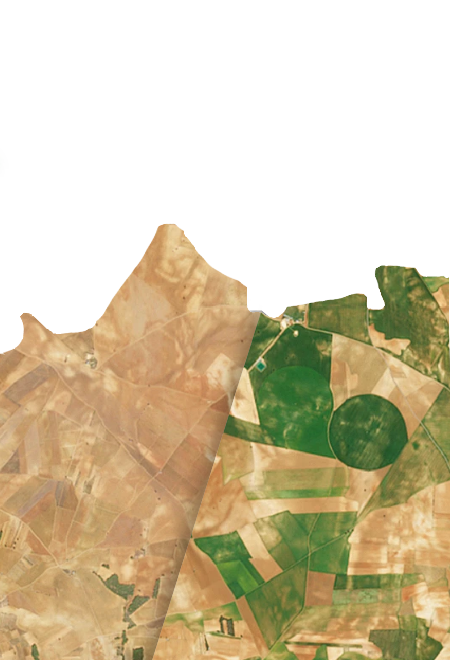
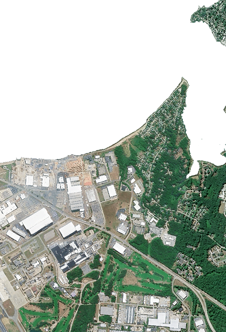
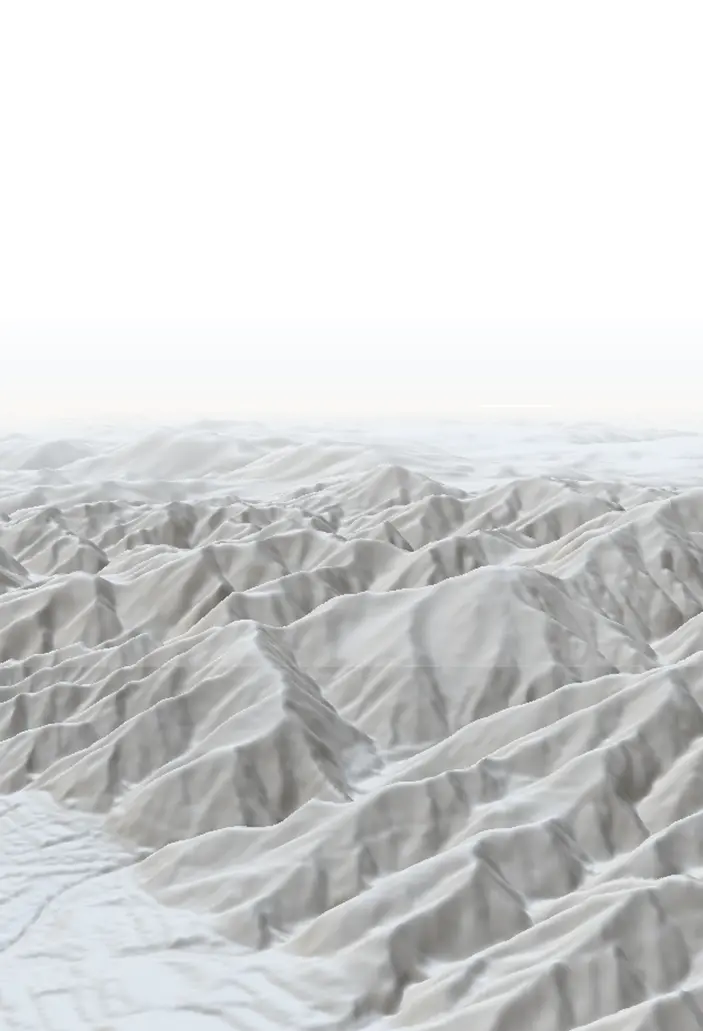
Nimbo Online Basemaps is a monthly-produced, cloud-free global basemap designed for predictable platform integration and consistent visuals worldwide. Add Nimbo HD (2.5m) when you need quality close-ups, and Nimbo Terrain for a matched elevation layer so your 2D maps and 3D globe share the same visual language
Key benefits
Why broadcast teams choose Nimbo
Platform standardization
Lower integration cost
Predictable quality tiers
Operational reliability
Governance ready
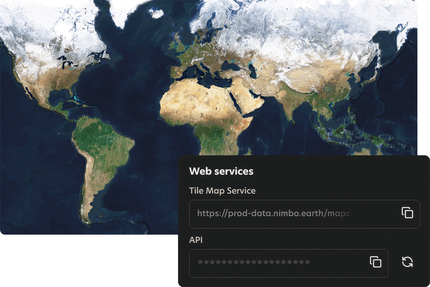
How it works
Quick integration, smooth workflows
Nimbo connects easily to existing platforms through standard TMS and WMTS services, making integration quick and smooth. Add the service, set your preferences, and your basemaps are ready to stream inside your tools.