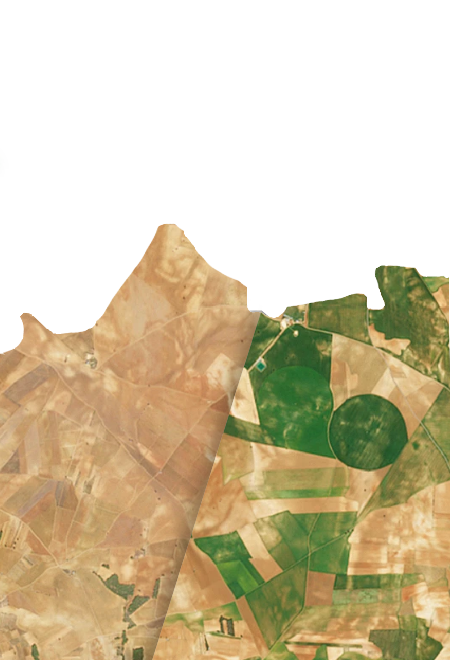
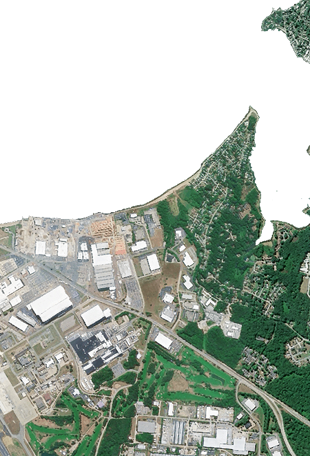
Cloud-free Earth basemaps, HD detail, and terrain ready for production
A single, consistent geospatial stack for interactive news, weather graphics, on-air graphics, and real-time virtual production. Monthly refreshed, visually coherent, and designed to integrate fast
Who is it for
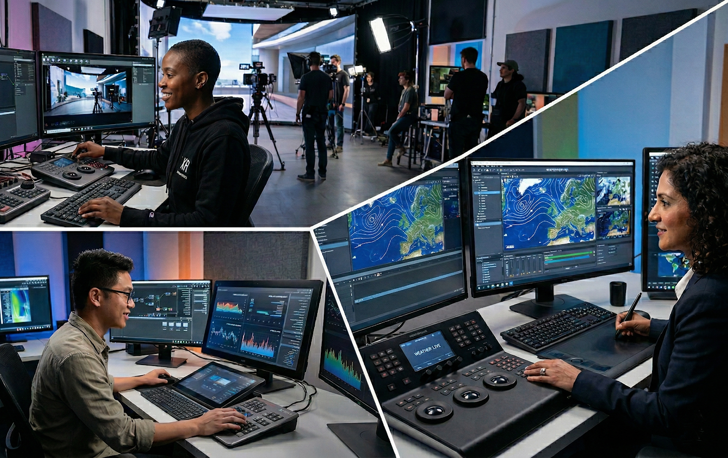
Built for media, weather and production teams creating maps and environments under tight deadlines
Deliver a visually flawless, globally consistent basemap and terrain stack that integrates fast and performs reliably for newsrooms, on-air broadcast, and real-time virtual production
Broadcast Graphics Manager
You move fast because breaking news doesn’t wait, the stakes are high because every second on air is visible to millions, and you simply can’t afford a single failure during live coverage.

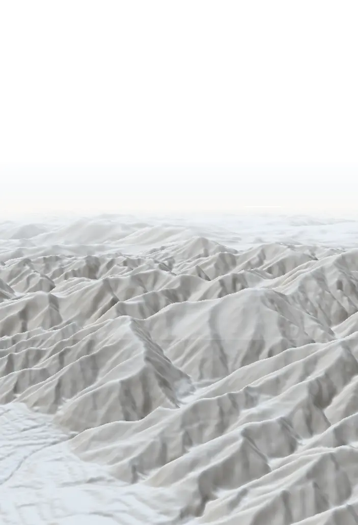
Produce broadcast‑ready maps and 3D terrain fly‑throughs for any location, on short notice, with consistent quality
Interactive & Data Visualisation Manager
You produce breaking-news maps and long-form investigations under tight deadlines.
Create fast-loading, visually strong, defensible maps without expensive basemap dependencies
Innovation & Digital Strategy Manager
You sponsor new, high-visibility storytelling formats and need solutions your creative and tech teams can adopt fast without GIS-heavy workflows
Provide a plug-and-play, globally consistent basemap and terrain stack so teams can ship broadcast- and web-ready geospatial storytelling fast
XR / Virtual Production Manager
You run an LED-volume virtual production pipeline and regularly integrate geospatial assets into real-time environments
Turn any real-world location into a clean, beliaveble background, withput spending days cleaning imagery or stitching inconsisten sources
Weather Graphics Lead
You produce weather graphics under tight deadlines and need maps that stay clear under dense overlays without constant manual fixes or fragile data pipelines
Ship visually consistent, credible weather graphics without spending hours cleaning basemap imagery or hunting for reliable terrain
The problem
What breaks under broadcast pressure
On-air errors, visual inconsistencies, and engineering time lost managing unreliable data pipelines.

Many artefacts
Clouds, seams, and patchy mosaics interfere with visuals, reducing clarity and making overlays harder to read

Stale imagery
Multiple vendors mean inconsistent color, licensing complexity, and brittle pipelines

Data discrepancy
Terrain sources are outdated or hard to operationalize for 3D storytelling
The consequence : Missed deadlines, on-air risk, slower pre-production, and visuals that do not match modern 4K and immersive standards.
The solution
One consistent basemap and terrain stack, ready for production
Nimbo delivers monthly, cloud-free global basemaps, AI-enhanced HD detail, and production-ready terrain via standard tile APIs — so teams can ship beautiful, credible geography without the GIS overhead
Key benefits
Why production teams rely on Nimbo
Always-fresh, cloud-free imagery
One look everywhere
Plug-and-play APIs
Trust & traceability
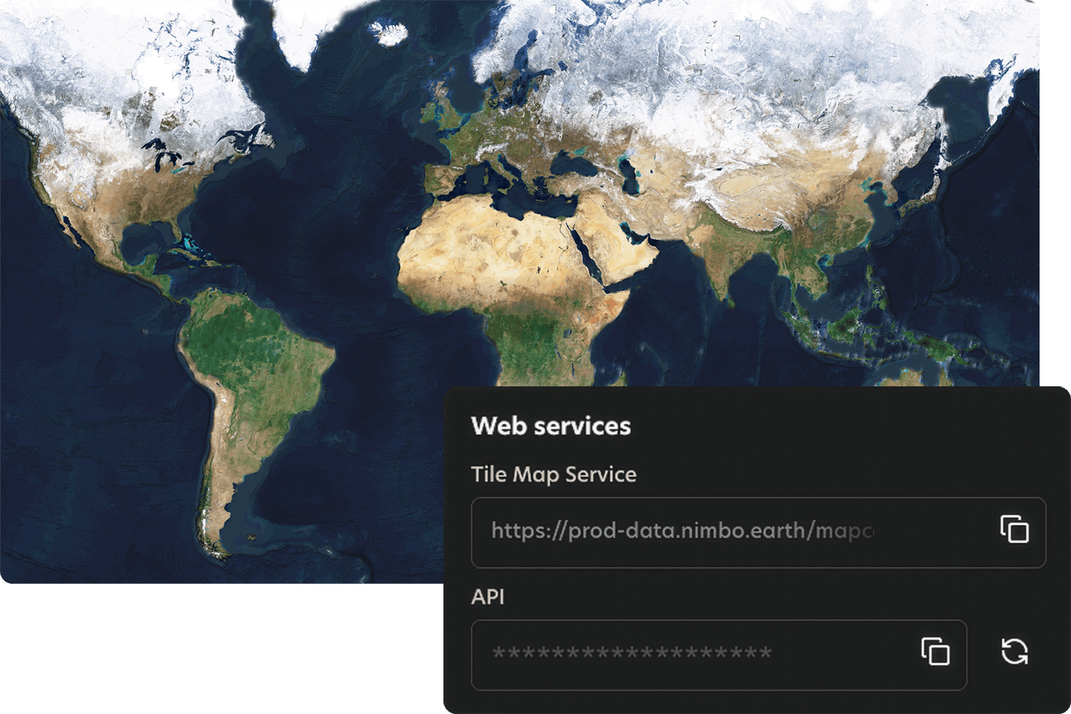
How it works
Quick integration, smooth workflows
Nimbo connects easily to existing platforms through standard TMS and WMTS services, making integration quick and smooth. Add the service, set your preferences, and your basemaps are ready to stream inside your tools.