License satellite basemaps and 3D terrain with legal clarity
Transparent pricing and clearly defined usage rights aligned with your real business use cases, with straightforward terms that reduce ambiguity around redistribution, derivatives, and long-term usage.

Who is it for
Built for compliance-driven organizations
Deploy a consistent basemap + terrain foundation with traceability and controlled usage, so you can support internal governance and reduce operational and contractual risk
Legal counsel and Procurement manager
Responsible for vendor selection, contract negotiation, and compliance across multiple teams and use cases.

Secure a geospatial data provider with clear redistribution and usage rights, and a pricing model that is easy to budget
The problem
Legal and Compliance Risks
Unclear licensing and fragmented suppliers create exposure to legal risk and last-minute approval delays.

Ambiguous licensing
Redistribution, derivative works, and long-term/archival use are often unclear, creating avoidable legal exposure

Unpredictable commercial model
Seat- or usage-based pricing makes it hard to forecast costs and lock budgets for multi-team rollouts

Fragmented vendor landscape
Overlapping coverage across multiple providers leads to inconsistent terms, duplicated contracts, and extra compliance work.
The consequence : Higher legal exposure, longer procurement cycles, and teams delivering projects with retroactive compliance risk.
The solution
One coherent visual stack, built for broadcast
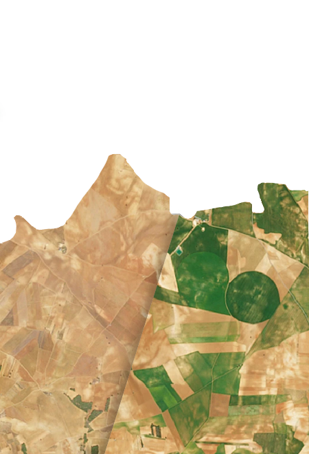
Nimbo provides globally consistent satellite basemaps, optional HD super-resolution, and terrain data under a licensing framework that is easier to review, negotiate, and enforce across your whole company


Key benefits
Why legal and procurement choose Nimbo
One supplier, three layers
Compliance-ready licensing
Budgetable pricing
Consistent global coverage
White label delivery
How it works
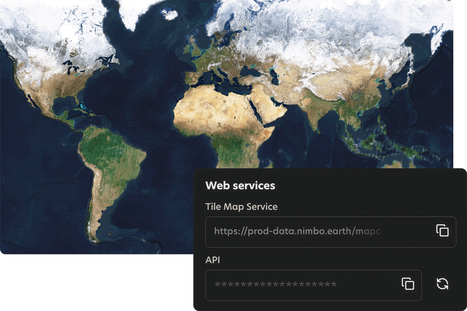
Quick integration, smooth workflows
Nimbo connects easily to existing platforms through standard TMS and WMTS services, making integration quick and smooth. Add the service, set your preferences, and your basemaps are ready to stream inside your tools.