Cloud-free basemaps and WebGL-ready terrain for weather maps
Ship a clean, consistent map canvas for weather overlays, and keep performance high across web, mobile, and B2B dashboards

Who is it for
Built for clear, readable weather maps
Deliver a clean, consistent visual foundation for weather maps, so your data is always clear, credible, and easy to read across every product.
Product Owner – Mapping & Weather Visualization
You manage basemap sourcing, tile infrastructure, and weather overlay rendering across multiple products and stakeholders.

Ensure every weather map your users see is built on a clean, consistent visual foundation — without adding complexity to your stack.
The problem
What breaks your weather map experience
Visual inconsistencies, rising costs, and complex map stacks make weather data harder to read, trust, and scale.

Visual artefacts
Cloud artifacts in satellite imagery visually pollute weather overlays and degrade trust

High costs
Basemap providers become expensive at scale and create long-term lock-in

Competing basemaps
Finding a visually neutral basemap that does not compete with meteorological layers is difficult

Complex integration
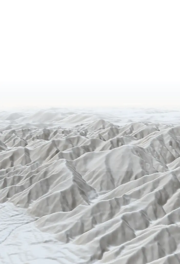
Terrain data from major vendors can be hard to integrate in WebGL pipelines
The consequence : Weather maps that feel inconsistent, harder to read, and less trustworthy — no matter how good your data is.
The solution
A complete basemap stack designed for weather visualization
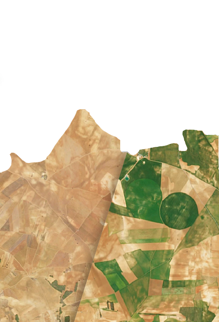
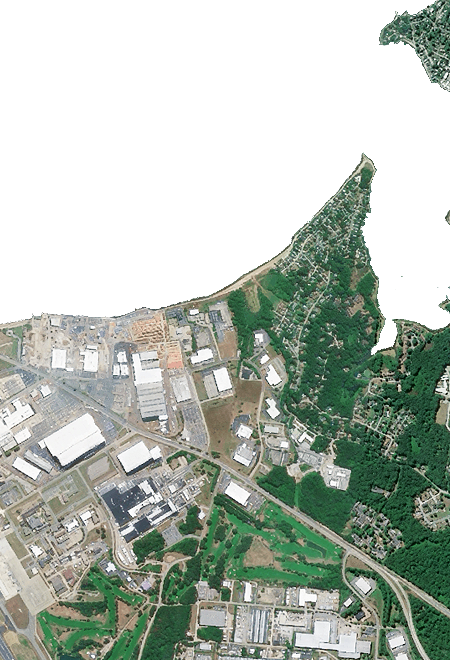
Nimbo provides cloud-free monthly-updated basemaps, AI-enhanced HD imagery, and terrain tiles in modern WebGL-ready formats. You get a clean background for weather overlays and a pragmatic alternative to hyperscalers.
Key benefits
Why weather teams choose Nimbo
Clean canvas for weather overlays
Fast integration into existing map stacks
Consistent global coverage
No visual competition with your data
Better performance at scale
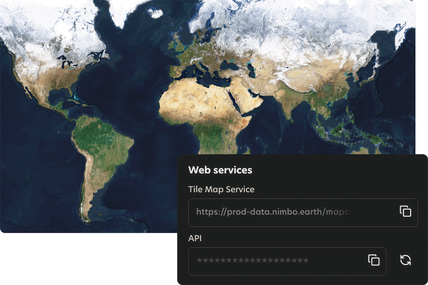
How it works
Quick integration, smooth workflows
Nimbo connects easily to existing platforms through standard TMS and WMTS services, making integration quick and smooth. Add the service, set your preferences, and your basemaps are ready to stream inside your tools.