

Mining & Reclamation
Every site, every month
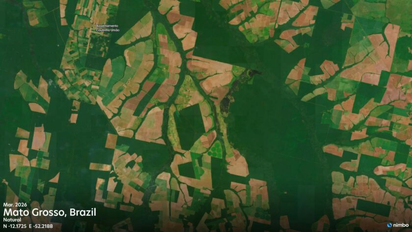
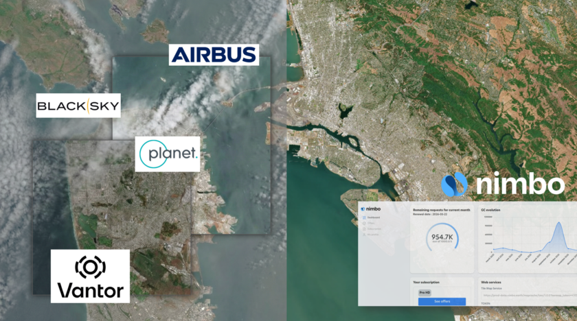
Access cloud-free 2.5 m resolution satellite imagery updated monthly. Monitor infrastructure, track tailings, spot illegal mining, and document site recovery. GIS-ready via TMS, WMTS and API.






THE CHALLENGE
Remote sites, cloudy skies, missing proof
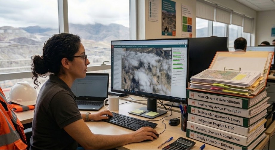
Remote locations and cloudy weather make monitoring slow and costly.
- Clouds: Tropical mining belts are obscured for months.
- High Costs: Tasked imagery is too expensive for routine use.
- Workflow Bottlenecks: Manual GIS tasks delay compliance.
- Missing Baselines: ESG reports lack continuous visual data.
Nimbo delivers ready-to-use satellite imagery
so your team can focus on the site, not the data pipeline.
2.5 m/px
AI-enhanced from Sentinel data. SAR-optical fusion fills cloud gaps in tropical regions.
Monthly basemap
Largely cloud-free, updated monthly. Pixel-level provenance preserved.
5 data layers
RGB, Infrared (NIR), NDVI updated monthly. Radar and LAI available on Enterprise plans.
Multi-year archive
From 2019 in Europe, 2023 globally. Multi-year change tracking.
Illegal & Artisanal Mining
Detect illegal mining early
Government agencies, NGOs and investigators use Nimbo to track illegal artisanal mining.
- Sub-hectare detection: Identify clearings, access tracks and mercury ponds early.
- Visible through clouds: SAR-optical fusion sees through tropical cover even during the rainy season.
- Audit trail: Every pixel carries its source. SAR-assisted pixels are flagged for audits.
Mine Infrastructure & Operations
Monitor mining operations remotely
Replace tasked acquisitions and field visits with monthly basemaps across every site.
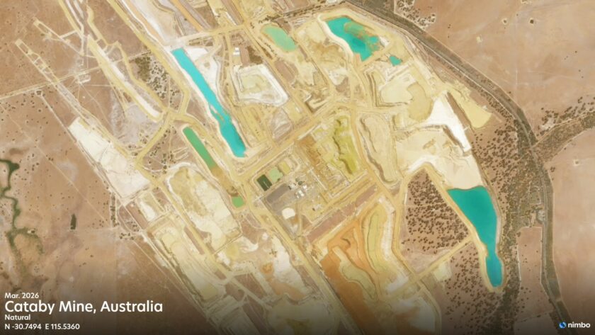
- Asset Tracking: Follow open-pit advancement, waste dumps, and processing facilities.
- Activity Status: Use haul road activity and equipment yard changes to confirm operating, expanding or idle status.
- Contractor Oversight: Compare reported construction progress against satellite evidence.
Tailings Facilities & Water Management
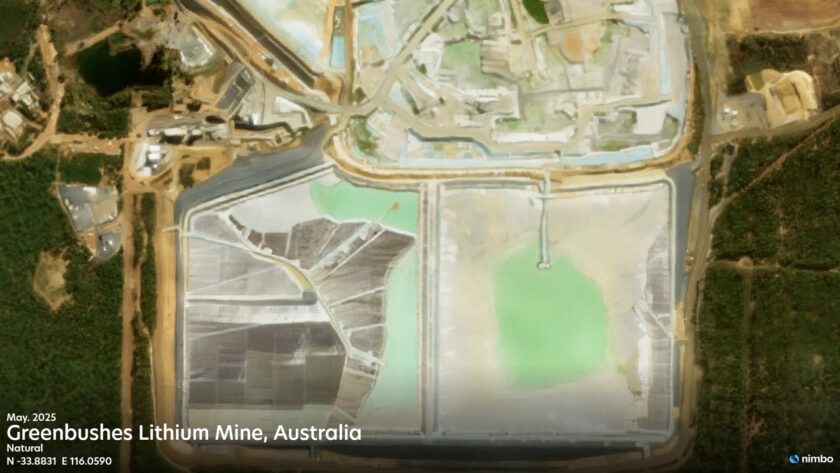
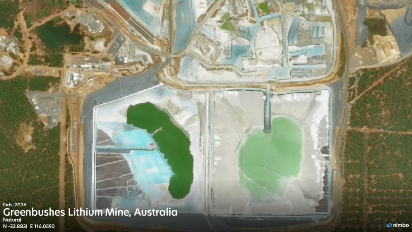
Track tailings facilities
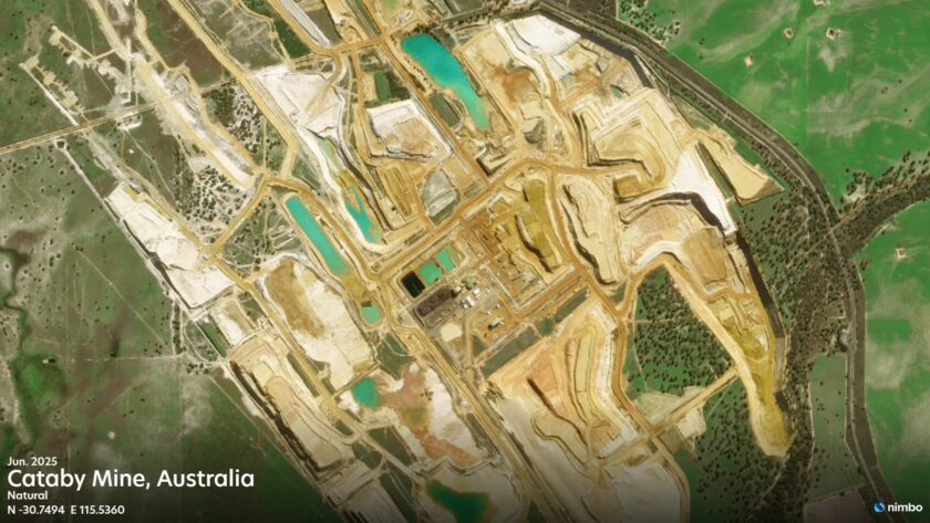
Maintain a monthly visual record of every TSF, useful for GISTM disclosure and investor scrutiny.
- Footprint & Ponds: Track TSF expansion, decant pond surface area, and beach water boundaries.
- Downstream water: Watch for color changes, turbidity plumes and sediment near discharge points.
- GISTM Compliance: Build a monthly visual archive for public reporting and independent review.
Mine Closure & ESG
Reclamation and ESG evidence
Build a continuous record of environmental performance to support CSRD, TNFD, and IRMA frameworks.
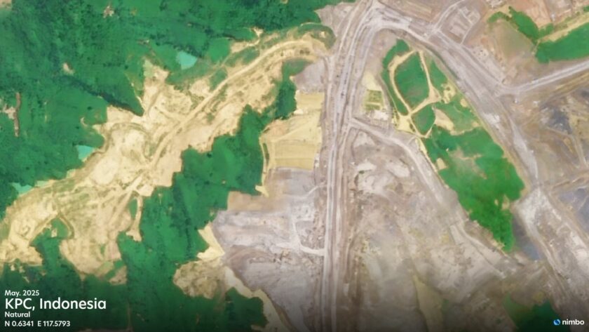
- Vegetation Recovery: Combine natural color (RGB) with NDVI time series to document long-term revegetation.
- Land & Water Restoration: Track reshaping, replanting, and changes in downstream water bodies.
- Buffer-Zone: Watch for encroachment near protected areas, Indigenous lands and Key Biodiversity Areas.
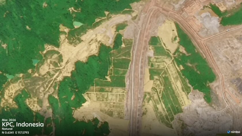

A monthly view of every mine that matters to you
Whether you operate, regulate, finance or watch over a site, you need up-to-date, comparable and traceable evidence. Nimbo delivers it monthly, without tasking costs.