Mapping – Media
Industry-Broadcast and Media
Create fresher, more credible maps and on-air visuals with monthly updated satellite imagery designed for newsrooms, motion teams, weather production, and in-flight entertainment (IFE) systems.
Industry – GIS
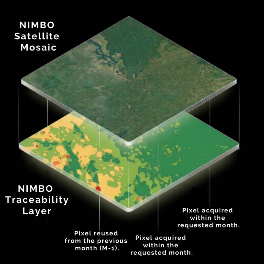
Nimbo delivers analysis-ready basemaps so you can skip straight to the work that matters. Ready to use No preprocessing, no imagery specialist needed. Continuous through time A stable visual reference, updated monthly, starting from 2019. Reliable in production Precise enough for interpretation, reporting, and decisions. Book a demo Drop a message
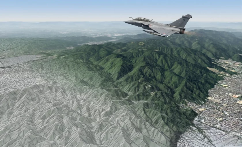
Industry – Simulation, Defense & In-flight entertainment
Pilot training, scenario simulation, operational planning and in-flight entertainment rely on seamless, realistic, and globally consistent terrain data.
However, assembling this layer from raw satellite imagery and elevation sources takes weeks of processing, correction, and integration. The terrain must be your starting point, not your bottleneck.