Mining & Reclamation
Every site, every month
Access largely cloud-free 2.5 m resolution satellite imagery updated monthly. Monitor infrastructure, track tailings, spot illegal mining, and document site recovery. Use it straight from your browser, or stream it into your existing GIS via TMS, WMTS and API.


THE CHALLENGE
Remote sites, cloudy skies, missing proof
Remote locations and cloudy weather make monitoring slow and costly.
- Clouds: Tropical mining belts are obscured for months.
- High Costs: Tasked imagery is too expensive for routine use.
- Workflow Bottlenecks: Manual GIS tasks delay compliance.
- Missing Baselines: ESG reports lack continuous visual data.
Nimbo delivers ready-to-use satellite imagery
so your team can focus on the site, not the data pipeline.
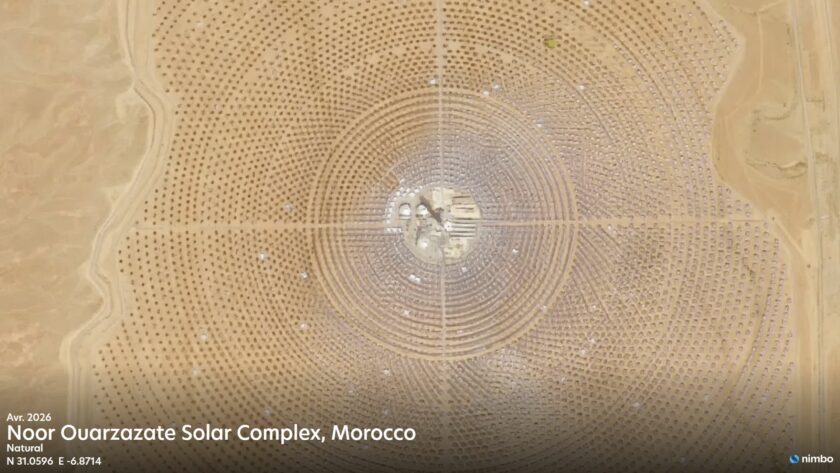
2.5 m/px
AI-enhanced from Sentinel data. Advanced compositing minimizes cloud gaps in tropical regions on Enterprise plans.
Monthly basemap
Largely cloud-free, updated monthly. Pixel-level provenance preserved.
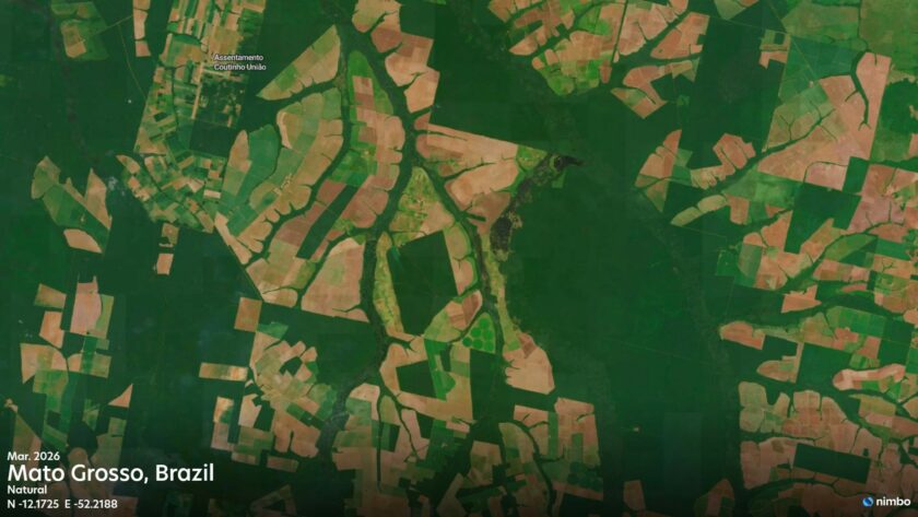
5 data layers
Natural (RGB), Infrared (NIR), NDVI updated monthly. Radar (SAR) and LAI available on Enterprise plans.
Multi-year archive
From 2019 in Europe, 2023 globally. Multi-year change tracking.
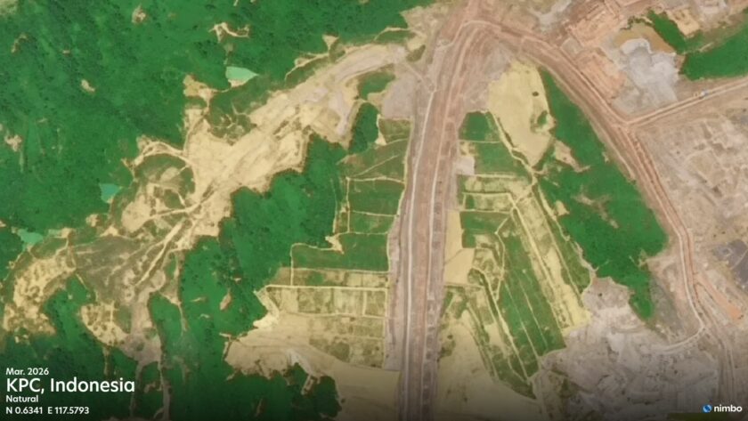
Illegal & Artisanal Mining
Detect illegal mining early
Government agencies, NGOs and investigators use Nimbo to track illegal artisanal mining.
- Sub-hectare Detection: Identify clearings, access tracks and mercury ponds early.
- Visible Through Clouds: Multi-modal data fusion (Enterprise) extends visibility through persistent cloud cover.
- Audit Trail: Every pixel carries its source for transparent reporting and audits.
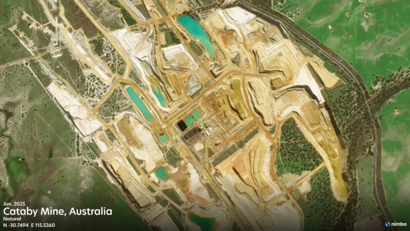
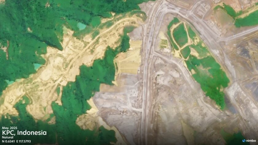
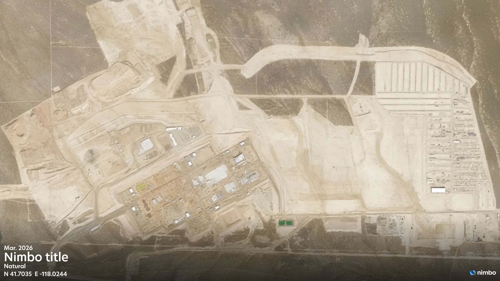
Mine Infrastructure & Operations
Monitor mining operations remotely
Replace tasked acquisitions and field visits with monthly basemaps across every site.
- Asset Tracking: Follow open-pit advancement, waste dumps, and processing facilities.
- Activity Status: Use haul road activity and equipment yard changes to confirm operating, expanding or idle status.
- Contractor Oversight: Compare reported construction progress against satellite evidence.
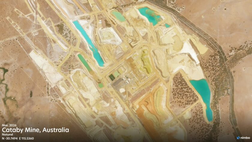
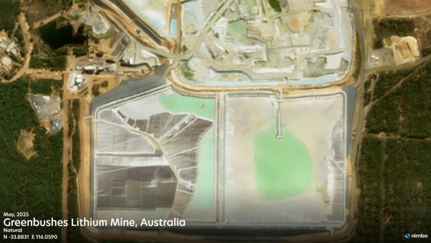
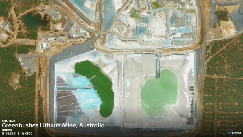
Tailings Facilities & Water Management
Track tailings facilities
Maintain a monthly visual record of every TSF, useful for GISTM disclosure and investor scrutiny.
- Footprint & Ponds: Track TSF expansion, decant pond extent, and beach-water boundaries.
- Downstream Water: Watch for color changes, turbidity plumes and sediment near discharge points.
- GISTM Archive: A consistent monthly record for public reporting and independent review.
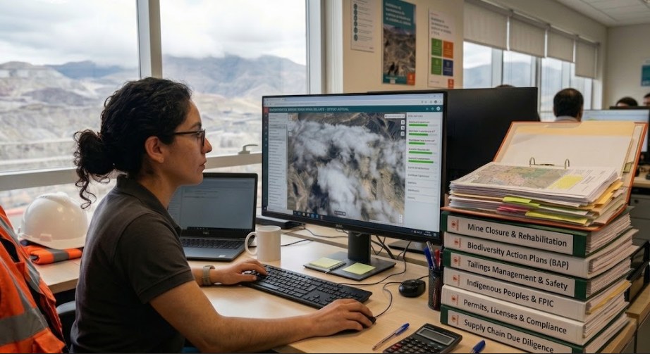
Mine Closure & ESG
Reclamation and ESG evidence
Build a continuous record of environmental performance to support CSRD, TNFD, and IRMA frameworks.
- Vegetation Recovery: Combine natural color (RGB) with NDVI time series to document long-term revegetation.
- Land & Water Restoration: Track reshaping, replanting, and changes in downstream water bodies.
- Buffer Zones: Watch for encroachment near protected areas, Indigenous lands and Key Biodiversity Areas (KBAs).
A monthly view of every mine that matters to you
Whether you operate, regulate, finance or watch over a site, you need up-to-date, comparable and traceable evidence. Nimbo delivers it monthly, without tasking costs.