

Construction & Infrastructure
Every stage, one clear view
Follow construction and infrastructure projects from site selection through to handover, on a single basemap updated every month. Largely cloud-free 2.5 m resolution imagery lets you assess sites, set a baseline, verify progress and document environmental performance, whether for one project or a portfolio spread across regions. Use it in your browser, or stream it into your GIS via TMS, WMTS and API.






THE CHALLENGE
Many sites, often remote, no single view
Large contractors, developers, and operators manage concurrent projects across wide regions, without a single, up-to-date view of portfolio-wide progress.
- Distance: Field visits to remote sites are costly and inefficient.
- Scale: Dispersed sites at varying stages are difficult to centralize.
- Tasking costs: High-resolution, on-demand imagery is cost-prohibitive at scale.
- Fragmented evidence: Scattered sources and dates leave an inconsistent timeline.
Nimbo delivers ready-to-use satellite imagery
so your team can focus on the site, not the data pipeline.
2.5 m/px
AI-enhanced from Sentinel data. Advanced compositing minimizes cloud gaps on Enterprise plans.
Monthly basemap
Largely cloud-free, updated monthly. Pixel-level provenance preserved.
5 data layers
Natural (RGB), Infrared (NIR), NDVI updated monthly. Radar (SAR) and LAI available on Enterprise plans.
Terrain & elevation
Global DEM, 2 m to 30 m resolution. Aligned with Nimbo imagery — ready for slope, viewshed and 3D site analysis.
Planning & Site Selection
Assess sites before you commit
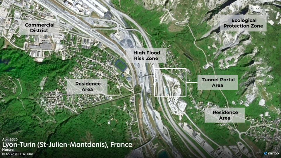
Planners, developers and contractors use Nimbo to evaluate locations and document site conditions before costly ground surveys.
- Land Assessment: Evaluate terrain, land cover, and access routes from recent imagery and elevation data.
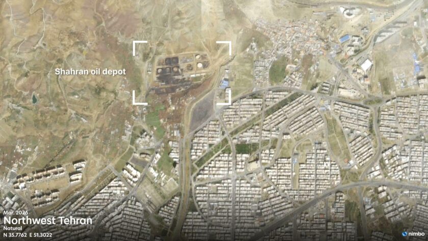
- Site Context: Identify surrounding features before committing, including residential areas, farmland, water bodies, and protected zones, to flag impact and permitting constraints early.
- Baseline Record: Capture pre-construction site conditions for permitting and environmental impact documentation.
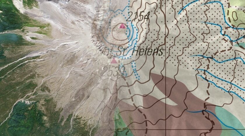
Imagery shows the surface. Terrain shows the shape.
Construction Monitoring
Track progress across every project
Reduce site visits and custom imagery tasking with monthly basemaps spanning your entire portfolio.
- Progress Tracking: Monitor earthworks, foundations, structures, access roads, and surrounding works as the project advances.
- Schedule Verification: Validate reported construction milestones against independent satellite evidence.
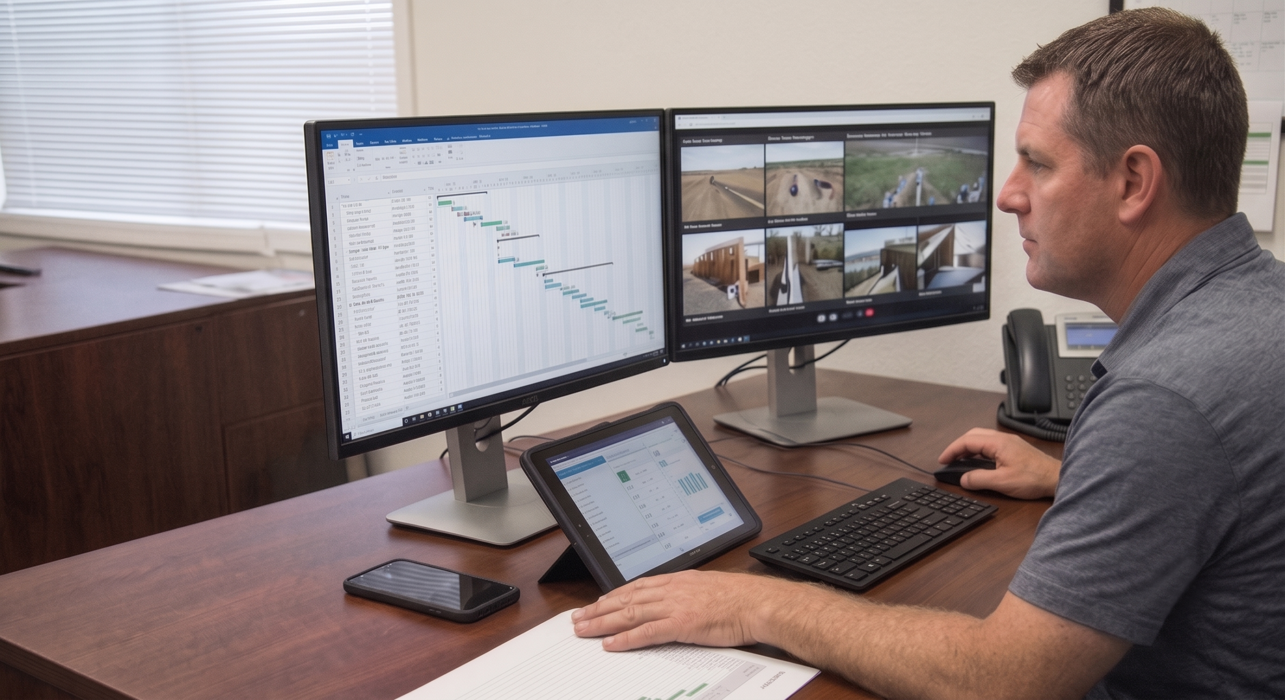
- Portfolio Oversight: Centralize visibility by monitoring all active sites on a single, consistent basemap, regardless of region or project stage.
Surroundings & Site Integrity
Keep watch beyond the fence line
Maintain a continuous visual record of how each project interacts with the land around it.
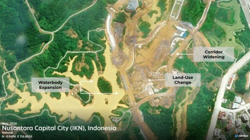
- Land-Use Change: Track how surrounding land cover evolves as work progresses, from access routes to laydown areas.
- Encroachment & Access: Monitor adjacent activity, corridor clearance and changes along service roads.
- Perimeter Integrity: Detect erosion, water pooling, and unplanned land disturbances near the site boundary.

Environmental Compliance & ESG
Continuous records for ESG reporting
Maintain traceable environmental records to support project-finance ESG, EIAs, and corporate sustainability reporting.
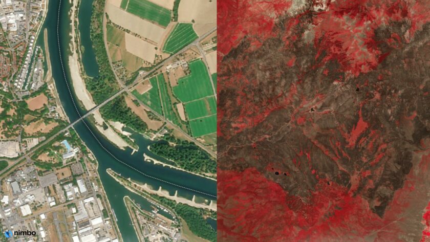
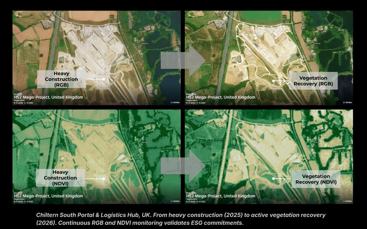
- Development Record: Document land cover before, during and after works, combining natural color (RGB) and NDVI.
- Sensitive Areas: Monitor proximity to wetlands, protected areas and Key Biodiversity Areas (KBAs) through the project.
- Restoration Tracking: Document post-construction rehabilitation and revegetation with objective visual evidence.

One clear view across your entire portfolio
From planning to handover, decisions rely on evidence that is current, comparable and easy to trace. Nimbo brings every site onto a single basemap, updated monthly and without tasking costs.