

Sustainability & ESG
Evidence for every commitment
Sustainability and ESG reporting depends on continuous, verifiable monitoring, not a single site visit. Nimbo provides largely cloud-free, 2.5 m satellite imagery updated monthly, giving sustainability teams one consistent record across forestry, mining, energy and infrastructure portfolios. Use it straight from your browser, or stream it into your existing GIS via TMS, WMTS and API.






THE CHALLENGE
The evidence gap
A single site visit or one-off image no longer counts as proof. Regulators, auditors, and investors expect a continuous, comparable historical record, driven by frameworks like CSRD, TNFD, EUDR, and GISTM.
- Assurance Risks: Self-reported data faces tightening scrutiny.
- Fragmented Portfolios: Multi-site, multi-country operations lead to inconsistent data and historical gaps.
- Prohibitive Costs: Tasked imagery, drones, and field visits are too costly to repeat at reporting frequency.

Nimbo delivers ready-to-use imagery for your ESG workflow
From identifying assets to assessing exposure, monitoring change, and responding with confidence — built into one monthly visual record.
2.5 m/px
AI-enhanced from Sentinel data. Advanced compositing minimizes cloud gaps on Enterprise plans.
Cloud removal
Largely cloud-free. Advanced compositing minimizes cloud gaps further on Enterprise plans.
Monthly basemap
Updated monthly. Pixel-level provenance preserved.
5 data layers
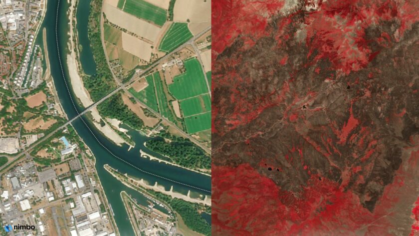
Natural (RGB), Infrared (NIR), NDVI updated monthly. Radar (SAR) and LAI available on Enterprise plans.
DEFORESTATION & FOREST LOSS
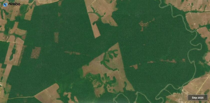
Monitor deforestation, wherever it happens
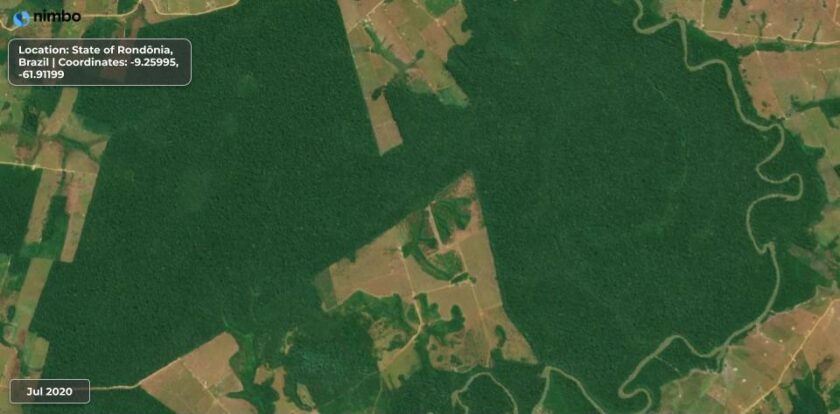
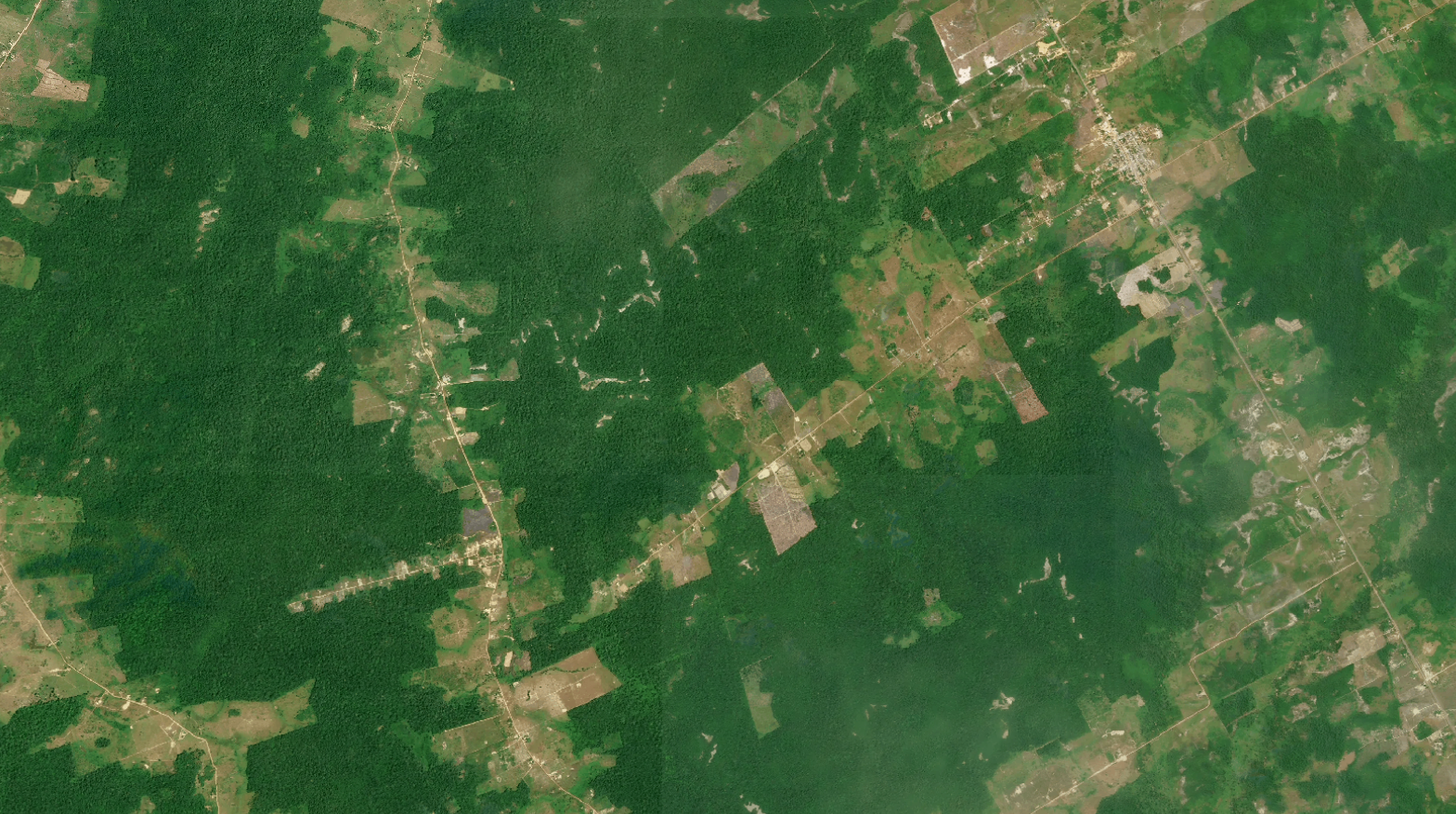
Commodity buyers, traders, NGOs, and researchers use Nimbo to track forest loss — for supply chain due diligence, buyer commitments, or independent verification.
- 2020 Global Baseline: Forest cover reference for the compliance period (Enterprise plan).
- Monthly Monitoring: Track sourcing regions with 2.5 m imagery.
- Audit-Ready Export: Connect via API, QGIS, or ArcGIS for due diligence statements.
MINE RECLAMATION & GISTM DISCLOSURE
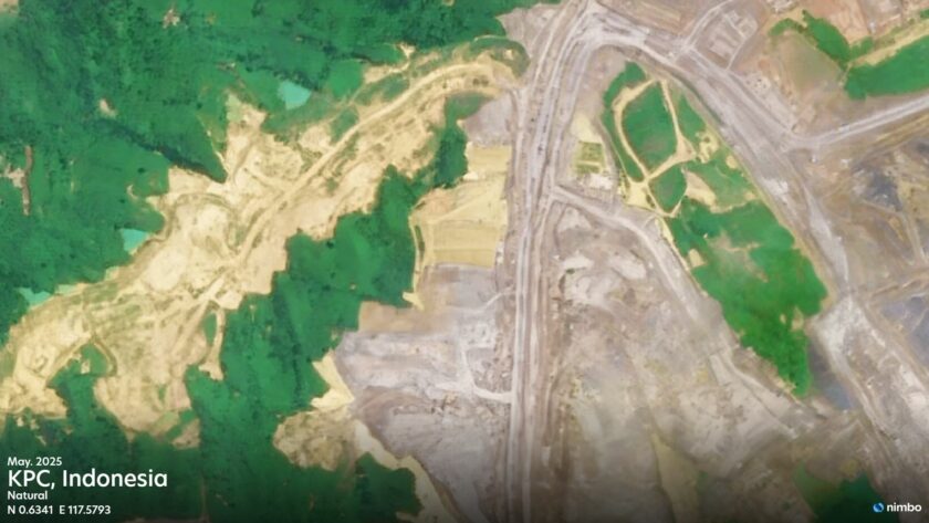
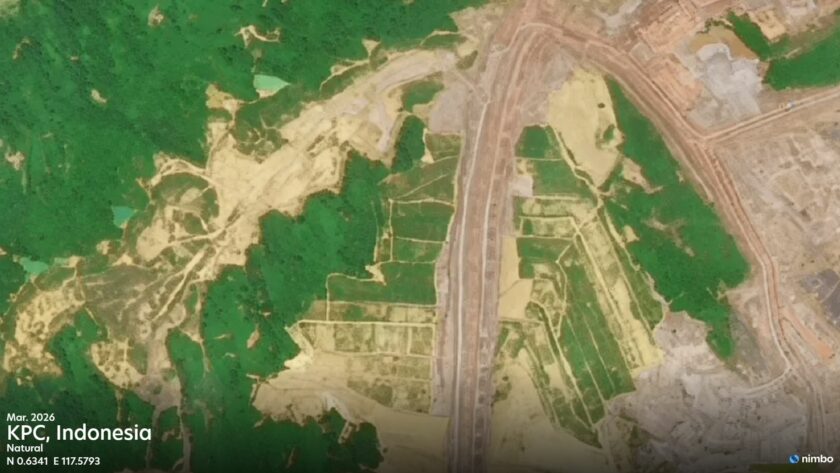
Document mine reclamation as it happens
Mining ESG teams use Nimbo to monitor revegetation, land restoration, and tailings status for GISTM and IRMA reporting.
- Baseline & Buffers: Map tailings storage facilities and their proximity to protected or Indigenous land.
- Ongoing Monitoring: Track revegetation, TSF footprints, and pond extents monthly.
- Closure Evidence: Demonstrate reclamation progress through a continuous record, rather than a single survey.
RENEWABLE ASSET MONITORING
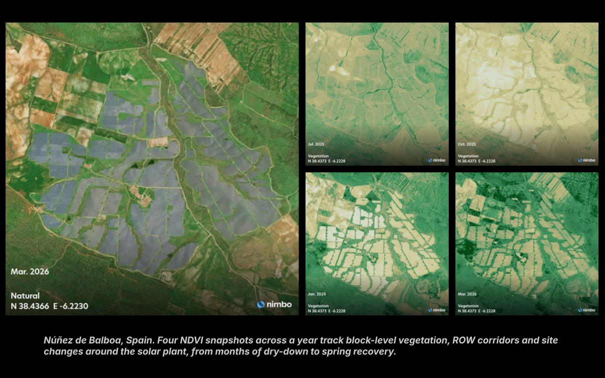
Track land-use change on renewable sites
Developers and lenders use Nimbo to track land-use change across solar, wind, and storage portfolios for TNFD and ESG requirements.
- Pre-Construction Baseline: Map proposed sites against wetlands, habitats, and Key Biodiversity Areas.
- Construction Monitoring: Follow footprint and vegetation monthly through commissioning.
- Restoration Tracking: Document revegetation around decommissioned or repowered assets.
CONSTRUCTION & INFRASTRUCTURE MONITORING
Maintain construction site compliance records
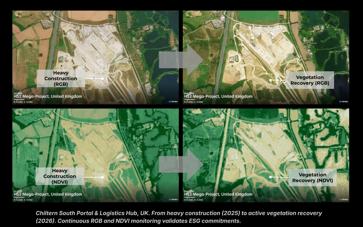
Contractors, developers, and project financiers use Nimbo to build environmental records supporting ESG, EIAs, and corporate sustainability reporting on construction and infrastructure sites.
- Land-Use Change: Show how land cover shifts through the build cycle, from natural color and NDVI imagery.
- Habitat & Buffer Zones: Flag encroachment near wetlands and Key Biodiversity Areas.
- Rehabilitation Tracking: Document post-construction recovery with a monthly visual record.
A record you can rely on
Nimbo gives sustainability teams a monthly, traceable satellite record across forests, mine sites, energy assets, and infrastructure projects so reporting doesn’t depend on the last field visit.